Medium airport · Venezuela
Juan Pablo Pérez Alfonso AirportSVVG
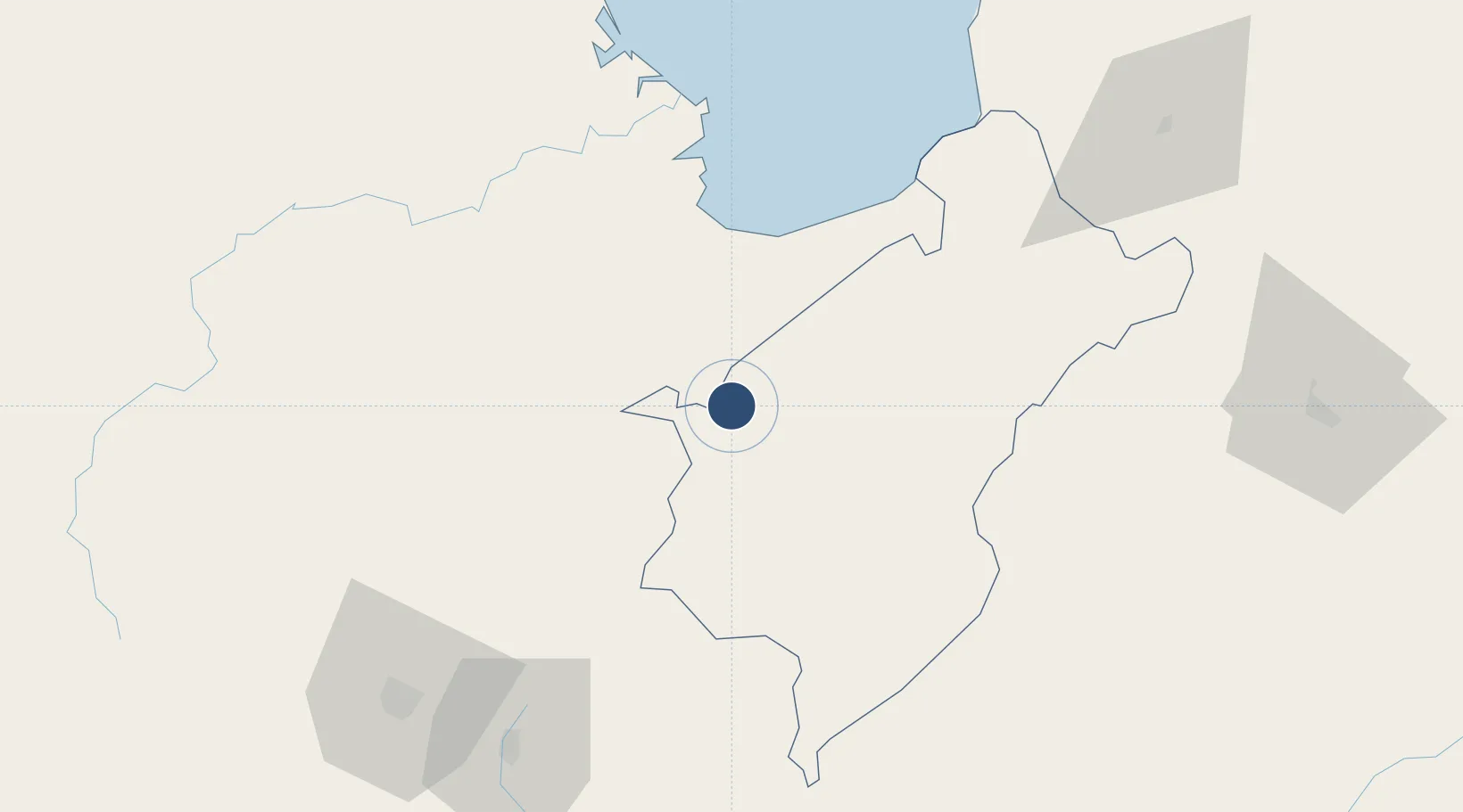
8.6241°, -71.6727°
10,645 ft
Longest runway
1
Runways
250 ft
Elevation
Runway & Layout

Radio Frequencies
TWR
118.75 MHz
VIGIA TWR
Navaids
EVG NDB El Vigia 393 kHz
Runways · 1
| Runway | Dimensions | Surface | True heading | Lit |
|---|---|---|---|---|
| 09/27 | 10,645 × 145ft | Asphalt | 082° | ✓ |
Airport Specifications
IATA code
VIG
ICAO code
SVVG
Airport class
Medium airport
Scheduled service
Yes
Runway surface
Asphalt
Served city
El Vigía
Location
Nearby Logistics Neighbours
Airports
- 1Miguel Urdaneta Fernández Airport49 km
- 2Alberto Carnevalli Airport56 km
- 3La Fria Airport79 km
- 4Paramillo Airport109 km
- 5Camilo Daza International Airport121 km
Cities
- 1Seboruco70 km
- 2Ureña116 km
- 3San Lorenzo/maracaibo L145 km
- 4Chiquinquirá201 km
- 5La Jagua de Ibirico209 km
Ports
- 1San Lorenzo145 km
- 2La Salina195 km
- 3Bajo Grande211 km
- 4Maracaibo224 km
- 5Puerto Miranda239 km
DatabookThe Record of Consolidated Knowledge
Venezuela beyond logistics?