Transport Functions
Rail
Road
Hub Profile
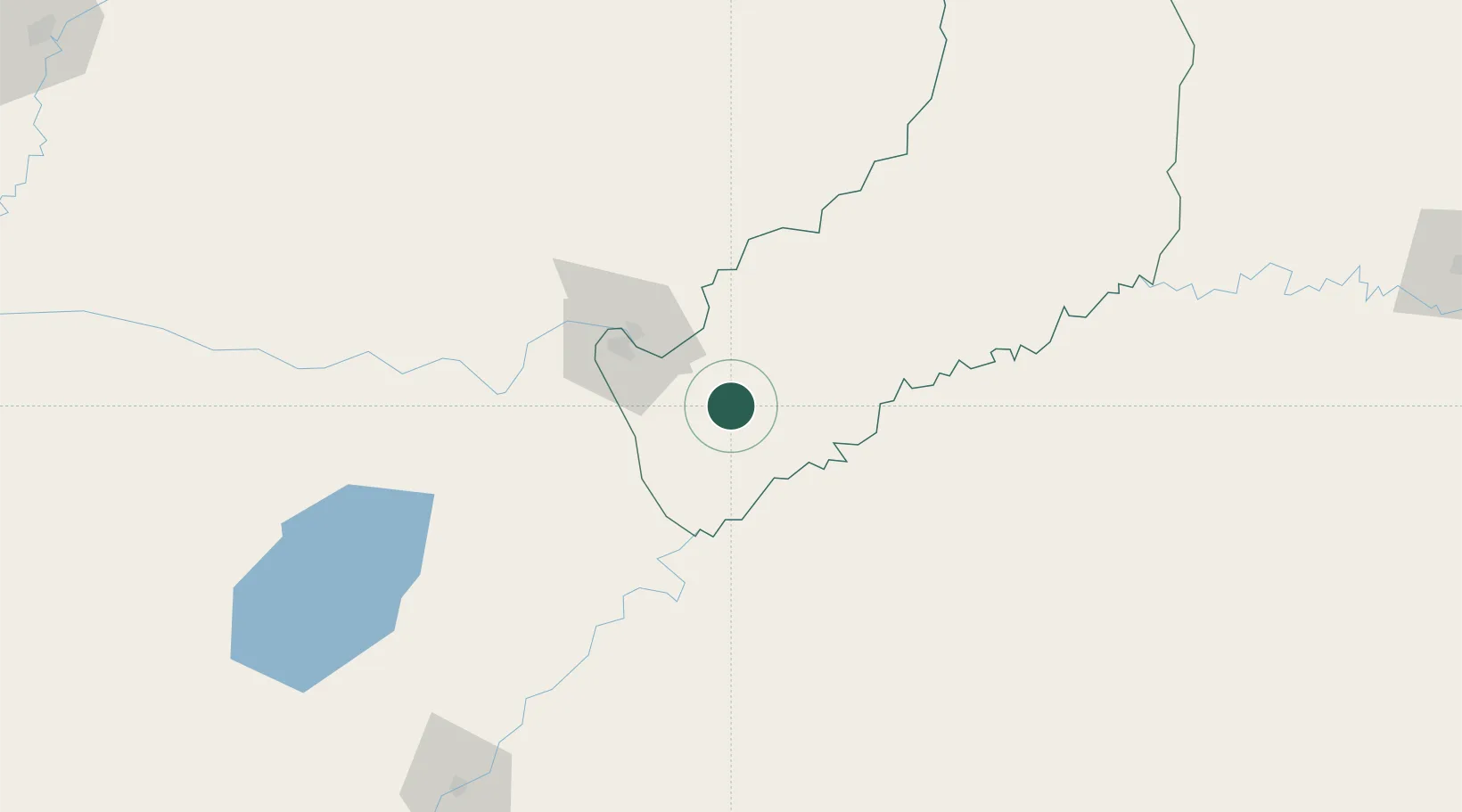
Place type
Populated place
Region
Misiones
Population
5,323
Time zone
America/Argentina/Cordoba
Elevation
287 m
Location
Nearby Logistics Neighbours
Cities
- 1Candelaria33 km
- 2Santa Ana35 km
- 3San Ignacio42 km
- 4Porto Xavier45 km
- 5Encarnación53 km
Ports
- 1Puerto De Asuncion342 km
- 2Concordia486 km
- 3Porto Alegre493 km
- 4Pelotas553 km
- 5Colon570 km
Airports
Trade Zones
- 1Zona Franca Puerto Iguazu Free Trade Zone244 km
- 2Zona Franca Global250 km
- 3Zona Franca Internacional250 km
- 4Rivera Free Zone368 km
- 5ZPE de Rio Grande (RS)589 km
DatabookThe Record of Consolidated Knowledge
Argentina beyond logistics?