Large airport · Paraguay

Teniente Ramon A. Ayub Gonzalez International AirportSGEN
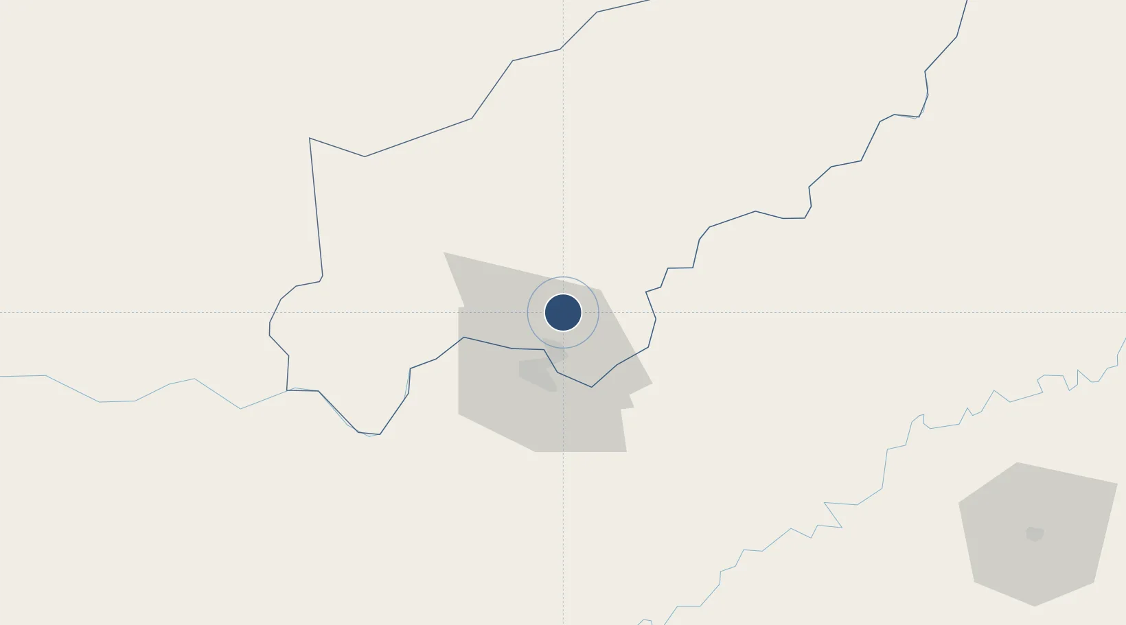
-27.2275°, -55.8376°
7,218 ft
Longest runway
1
Runways
659 ft
Elevation

Runway & Layout

Teniente Ramon A. Ayub Gonzalez International Airport runway & taxiway layout
Runway & taxiway layout — OpenStreetMap (ODbL) / OurAirports

Runways · 1

RunwayDimensions SurfaceTrue headingLit
02/20 7,218 × 148ft Asphalt
OurAirports

Airport Specifications

IATA code
ENO
OurAirports
ICAO code
SGEN
OurAirports
Airport class
Large airport
OurAirports
Scheduled service
Yes
OurAirports
Runway surface
Asphalt
OurAirports
Served city
Encarnación
OurAirports

Location

Location of SGEN
Natural Earth 10m (public domain) · Itapúa · SGEN · -27.23, -55.84GoogleOSMYandex

Nearby Logistics Neighbours

Airports
  1. 1Libertador Gral D Jose De San Martin Airport22 km
  2. 2Aeropuerto Nacional Juan de Ayolas102 km
  3. 3Luis Alberto Lehr Airport150 km
  4. 4Aeroestación Yabotí171 km
  5. 5Aeropuerto Nacional de Coronel Oviedo198 km
Nearest neighbours — logibook spatial index (haversine) over the source coordinates
Cities
  1. 1Encarnación13 km
  2. 2Trinidad13 km
  3. 3Posadas21 km
  4. 4Candelaria26 km
  5. 5San Ignacio27 km
Nearest neighbours — logibook spatial index (haversine) over the source coordinates
Ports
  1. 1Puerto De Asuncion285 km
  2. 2Concordia510 km
  3. 3Porto Alegre547 km
  4. 4Colon597 km
  5. 5Paysandu605 km
Nearest neighbours — logibook spatial index (haversine) over the source coordinates
Trade Zones
  1. 1Zona Franca Puerto Iguazu Free Trade Zone221 km
  2. 2Zona Franca Global223 km
  3. 3Zona Franca Internacional224 km
  4. 4Rivera Free Zone414 km
  5. 5ZPE de Rio Grande (RS)646 km
Nearest neighbours — logibook spatial index (haversine) over the source coordinates
DatabookThe Record of Consolidated Knowledge
Paraguay beyond logistics?
Browse databook

All Sources

AirportsOurAirports
Public domain
Portsthe NGA World Port Index
Public domain (US gov)
LocationsUN/LOCODE
UN/LOCODE — free
Trade Zonesthe World Bank SEZ database
CC BY 4.0
Trade ZonesOpen Zone Map
CC BY
InfrastructureOpenStreetMap
ODbL 1.0
← Paraguay airports