Medium airport · Argentina
Libertador Gral D Jose De San Martin AirportSARP
-27.3858°, -55.9707°
7,388 ft
Longest runway
1
Runways
430 ft
Elevation
Runway & Layout

Radio Frequencies
TWR
120.1 MHz
TWR/APP
Navaids
POS VOR-DME Posadas 114.90 MHz
Runways · 1
| Runway | Dimensions | Surface | True heading | Lit |
|---|---|---|---|---|
| 02/20 | 7,388 × 98ft | Asphalt | 359° | ✓ |
Airport Specifications
IATA code
PSS
ICAO code
SARP
Airport class
Medium airport
Scheduled service
Yes
Runway surface
Asphalt
Served city
Posadas
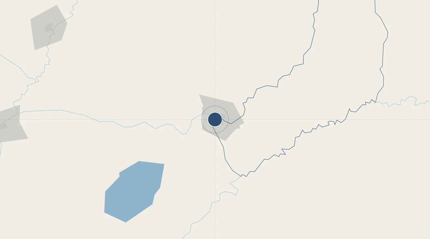
Location
Nearby Logistics Neighbours
Airports
Cities
- 1Posadas3 km
- 2Encarnación9 km
- 3Candelaria23 km
- 4Carmen del Paraná30 km
- 5Trinidad35 km
Ports
- 1Puerto De Asuncion291 km
- 2Concordia489 km
- 3Porto Alegre548 km
- 4Colon576 km
- 5Paysandu584 km
Trade Zones
- 1Zona Franca Puerto Iguazu Free Trade Zone243 km
- 2Zona Franca Global245 km
- 3Zona Franca Internacional245 km
- 4Rivera Free Zone398 km
- 5ZPE de Rio Grande (RS)639 km
DatabookThe Record of Consolidated Knowledge
Argentina beyond logistics?