Transport Functions
Rail
Road
Airport
Multimodal
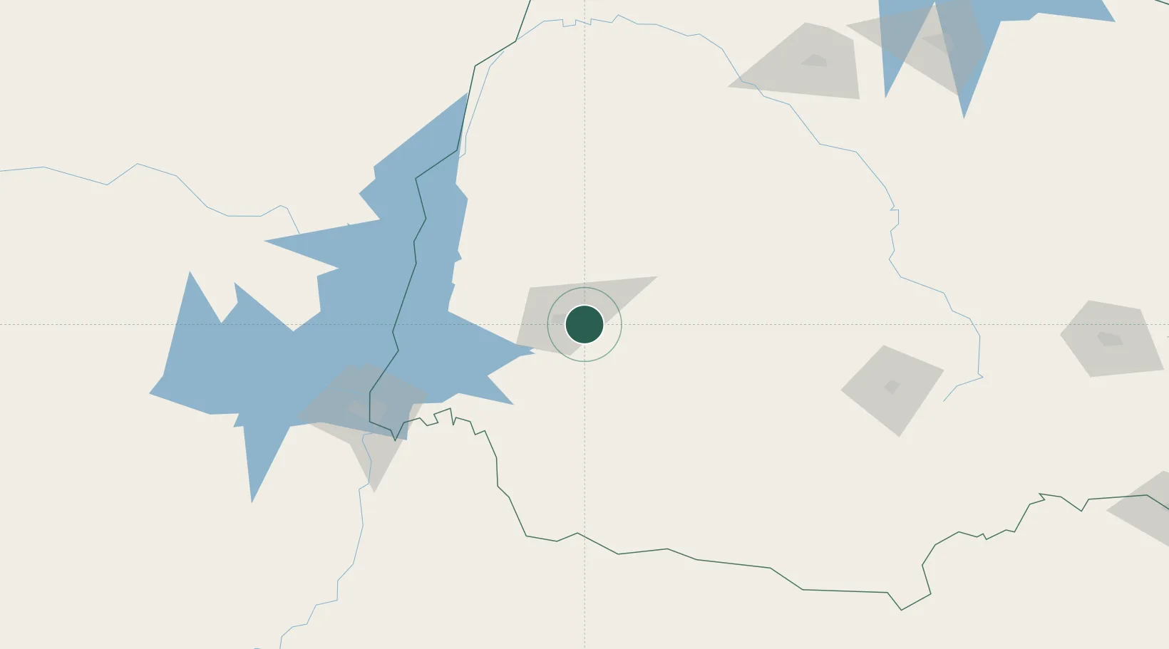
Hub Profile
Place type
Populated place
Region
Paraná
Population
257,172
Time zone
America/Sao_Paulo
Elevation
786 m
Logistics facilities
2
Location
Nearby Logistics Neighbours
Cities
- 1Capanema90 km
- 2Pato Bragado100 km
- 3Santa Helena104 km
- 4Santa Terezinha de Itaipu118 km
- 5Terra Roxa121 km
Ports
- 1Puerto De Asuncion441 km
- 2Paranagua486 km
- 3Sao Francisco490 km
- 4Itajai514 km
- 5Imbituba586 km
Airports
Trade Zones
- 1Zona Franca Puerto Iguazu Free Trade Zone143 km
- 2Zona Franca Internacional151 km
- 3Zona Franca Global152 km
- 4ZPE de Bataguassú (MS)379 km
- 5ZPE de Imbituba (SC)557 km
DatabookThe Record of Consolidated Knowledge
Brazil beyond logistics?