Large airport · Brazil
Presidente Juscelino Kubitschek International AirportSBBR
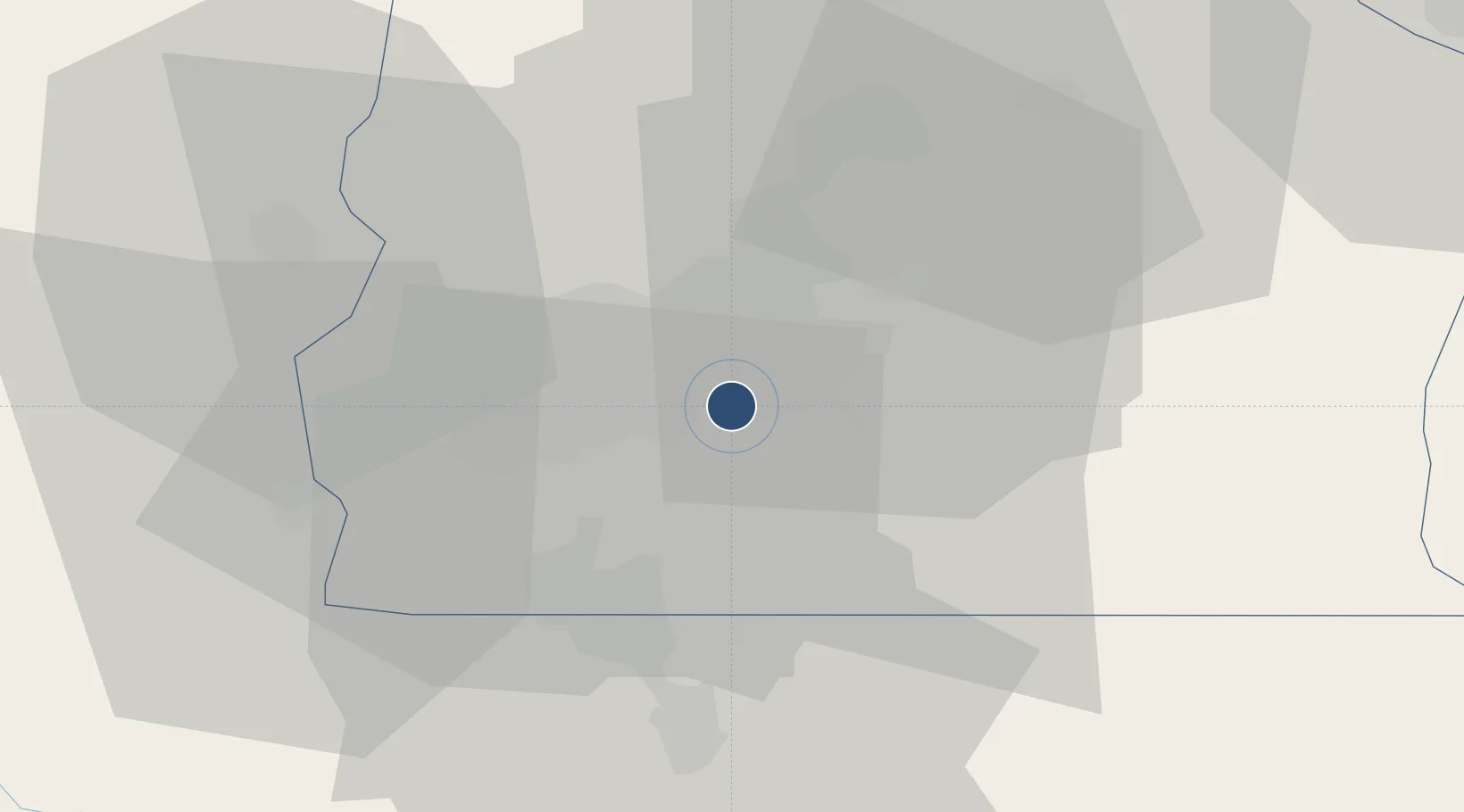
-15.8692°, -47.9208°
10,827 ft
Longest runway
2
Runways
3,497 ft
Elevation
Runway & Layout

Radio Frequencies
ATIS
127.8 MHz
BRASILIA ATIS
TWR
118.45 MHz
BRASILIA TWR
GND
121.8 MHz
CLD
121.8 MHz
BRASILIA CLNC DEL
APP
119.2 MHz
BRASILIA APP
OPS
122.5 MHz
BRASILIA OPS
PMSV
132.6 MHz
BRASILIA METRO
Navaids
BRS VOR-DME Brasilia 115.90 MHz
BRS NDB Brasilia 340 kHz
CH NDB Cocho 240 kHz
IR NDB Trevo 280 kHz
XMA VOR Gama 117.30 MHz
Runways · 2
| Runway | Dimensions | Surface | True heading | Lit |
|---|---|---|---|---|
| 11R/29L | 10,827 × 148ft | Asphalt | 086° | ✓ |
| 11L/29R | 10,499 × 148ft | Asphalt | 086° | ✓ |
Airport Specifications
IATA code
BSB
ICAO code
SBBR
Airport class
Large airport
Scheduled service
Yes
Runway surface
Asphalt
Served city
Brasília
Location
Nearby Logistics Neighbours
Airports
- 1Anápolis Airbase119 km
- 2Santa Genoveva International Airport163 km
- 3Pedro Rabelo de Souza Airport189 km
- 4Nelson Ribeiro Guimarães Airport219 km
- 5Minaçu Airport260 km
Cities
- 1Brasília10 km
- 2Luziânia43 km
- 3Anápolis121 km
- 4Pires do Rio163 km
- 5Goiânia167 km
Ports
- 1Angra Dos Reis880 km
- 2Santos914 km
- 3Sao Sebastiao920 km
- 4Rio De Janeiro927 km
- 5Niteroi928 km
Trade Zones
- 1ZPE de Uberaba (MG)426 km
- 2ZPE de Fernandópolis (SP)552 km
- 3ZPE de Teófilo Otoni (MG)720 km
- 4ZPE de Bataguassú (MS)801 km
- 5ZPE de Itaguaí (RJ)895 km
DatabookThe Record of Consolidated Knowledge
Brazil beyond logistics?