Transport Functions
Rail
Road
Airport
Postal
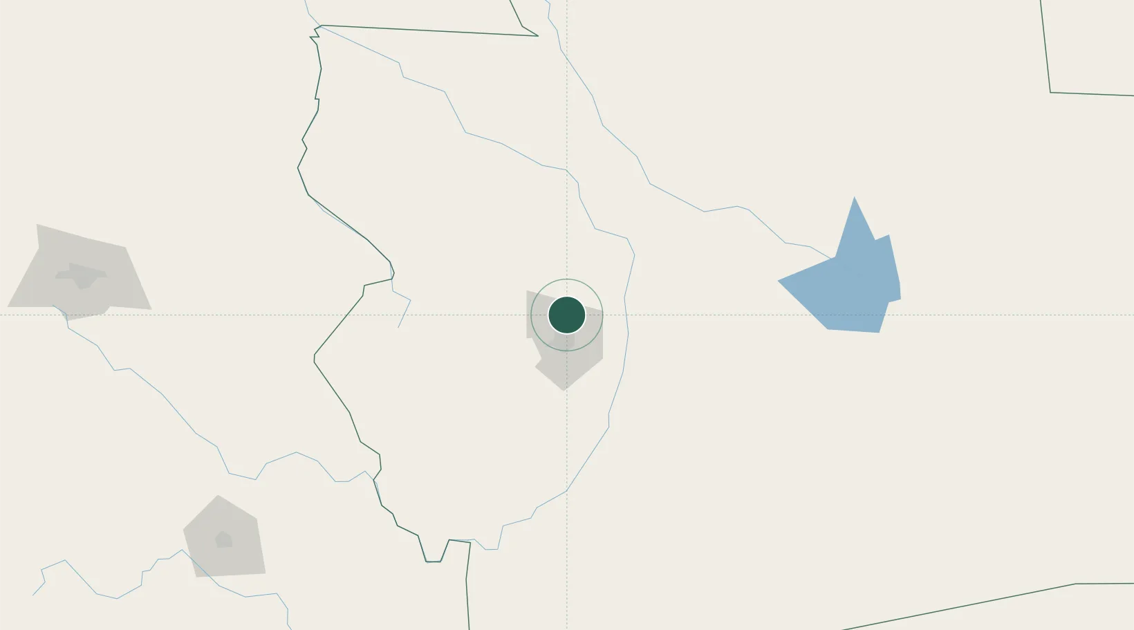
Hub Profile
Place type
Populated place
Region
Beni Department
Time zone
America/La_Paz
Elevation
214 m
Logistics facilities
3
Location
Nearby Logistics Neighbours
Ports
- 1Rada De Arica765 km
- 2Iquique791 km
- 3Caleta Patillos817 km
- 4Puerto Ilo871 km
- 5Tocopilla891 km
Airports
DatabookThe Record of Consolidated Knowledge
Bolivia beyond logistics?