Medium airport · Bolivia

El Trompillo AirportSLET
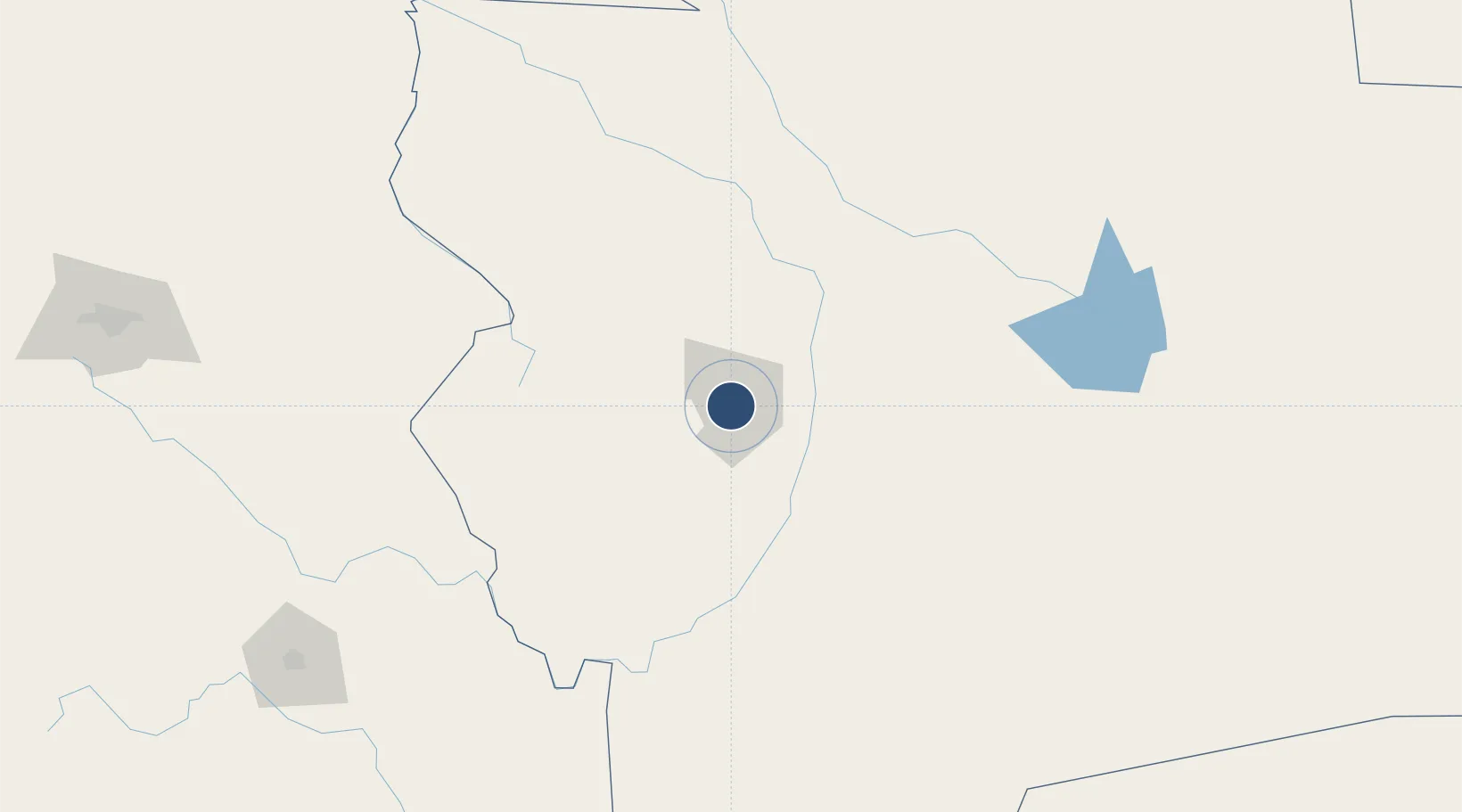
-17.8116°, -63.1715°
9,098 ft
Longest runway
1
Runways
1,371 ft
Elevation

Runway & Layout

El Trompillo Airport runway & taxiway layout
Runway & taxiway layout — OpenStreetMap (ODbL) / OurAirports

Radio Frequencies

TWR
118.3 MHz
TROMPILLO TWR
GND
121.7 MHz
APP
119.7 MHz
VIRU VIRU APP
RDO
127.1 MHz
SANTA CRUZ RDO
OurAirports

Navaids

TCZ NDB El Trompillo 265 kHz
OurAirports

Runways · 1

RunwayDimensions SurfaceTrue headingLit
16/34 9,098 × 131ft Asphalt 144°
OurAirports

Airport Specifications

IATA code
SRZ
OurAirports
ICAO code
SLET
OurAirports
Airport class
Medium airport
OurAirports
Scheduled service
Yes
OurAirports
Runway surface
Asphalt
OurAirports
Served city
Santa Cruz
OurAirports

Location

Location of SLET
Natural Earth 10m (public domain) · Santa Cruz · SLET · -17.81, -63.17GoogleOSMYandex

Nearby Logistics Neighbours

Airports
  1. 1Viru Viru International Airport19 km
  2. 2Chimore Airport229 km
  3. 3Juana Azurduy de Padilla Air Force Base260 km
  4. 4Alcantarí International Airport263 km
  5. 5San Ignacio de Velasco Airport275 km
Nearest neighbours — logibook spatial index (haversine) over the source coordinates
Cities
  1. 1Santa Cruz19 km
  2. 2Aiquile215 km
  3. 3Sucre258 km
  4. 4Sipe Sipe343 km
  5. 5Trinidad379 km
Nearest neighbours — logibook spatial index (haversine) over the source coordinates
Ports
  1. 1Rada De Arica760 km
  2. 2Iquique782 km
  3. 3Caleta Patillos806 km
  4. 4Puerto Ilo868 km
  5. 5Tocopilla878 km
Nearest neighbours — logibook spatial index (haversine) over the source coordinates
Trade Zones
  1. 1Winner Commercial and Industrial Free Zone6 km
  2. 2Santa Cruz Commercial and Industrial Free Zone27 km
  3. 3Oruro Commercial and Industrial Free Zone409 km
  4. 4Zona Franca Oruro418 km
  5. 5Zofrapat Commercial and Industrial Free Zone506 km
Nearest neighbours — logibook spatial index (haversine) over the source coordinates
DatabookThe Record of Consolidated Knowledge
Bolivia beyond logistics?
Browse databook

All Sources

AirportsOurAirports
Public domain
Portsthe NGA World Port Index
Public domain (US gov)
LocationsUN/LOCODE
UN/LOCODE — free
Trade Zonesthe World Bank SEZ database
CC BY 4.0
Trade ZonesOpen Zone Map
CC BY
InfrastructureOpenStreetMap
ODbL 1.0
← Bolivia airports