Large airport · Bolivia

Viru Viru International AirportSLVR
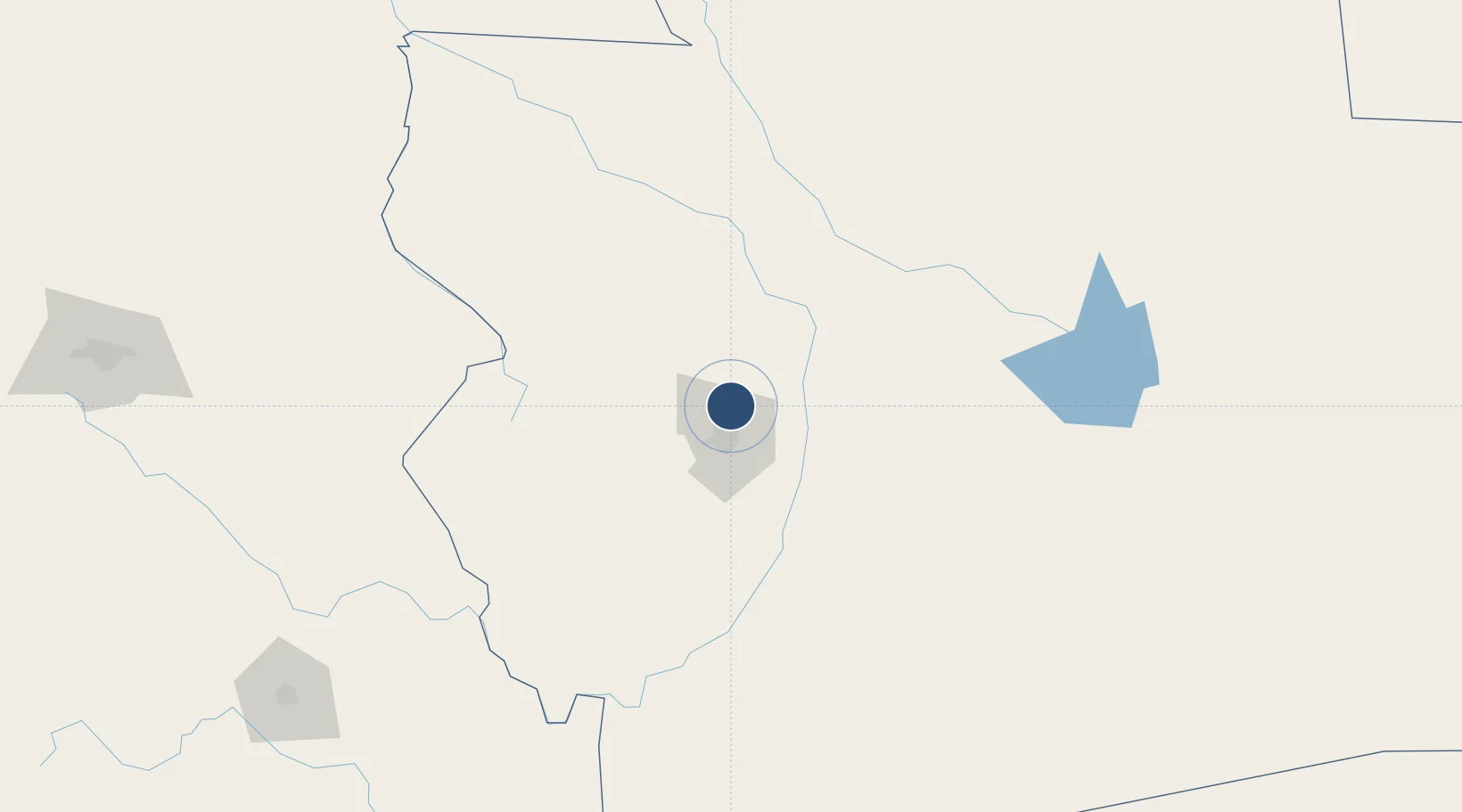
-17.6448°, -63.1354°
11,483 ft
Longest runway
1
Runways
1,224 ft
Elevation

Runway & Layout

Viru Viru International Airport runway & taxiway layout
Runway & taxiway layout — OpenStreetMap (ODbL) / OurAirports

Radio Frequencies

TWR
118.6 MHz
GND
121.9 MHz
CLD
121.8 MHz
CLNC DEL
APP
119.7 MHz
RDO
127.1 MHz
SANTA CRUZ RDO
OurAirports

Navaids

VIR VOR-DME Viru Viru 113.80 MHz
VRO NDB Viru Viru 280 kHz
OurAirports

Runways · 1

RunwayDimensions SurfaceTrue headingLit
16/34 11,483 × 148ft Concrete 147°
OurAirports

Airport Specifications

IATA code
VVI
OurAirports
ICAO code
SLVR
OurAirports
Airport class
Large airport
OurAirports
Scheduled service
Yes
OurAirports
Runway surface
Concrete
OurAirports
Served city
Santa Cruz
OurAirports

Location

Location of SLVR
Natural Earth 10m (public domain) · Santa Cruz · SLVR · -17.64, -63.14GoogleOSMYandex

Nearby Logistics Neighbours

Airports
  1. 1El Trompillo Airport19 km
  2. 2Chimore Airport226 km
  3. 3San Ignacio de Velasco Airport262 km
  4. 4Juana Azurduy de Padilla Air Force Base273 km
  5. 5Alcantarí International Airport277 km
Nearest neighbours — logibook spatial index (haversine) over the source coordinates
Cities
  1. 1Santa Cruz1 km
  2. 2Aiquile223 km
  3. 3Sucre271 km
  4. 4Sipe Sipe345 km
  5. 5Trinidad365 km
Nearest neighbours — logibook spatial index (haversine) over the source coordinates
Ports
  1. 1Rada De Arica766 km
  2. 2Iquique792 km
  3. 3Caleta Patillos817 km
  4. 4Puerto Ilo872 km
  5. 5Tocopilla891 km
Nearest neighbours — logibook spatial index (haversine) over the source coordinates
Trade Zones
  1. 1Santa Cruz Commercial and Industrial Free Zone8 km
  2. 2Winner Commercial and Industrial Free Zone14 km
  3. 3Oruro Commercial and Industrial Free Zone414 km
  4. 4Zona Franca Oruro423 km
  5. 5Zofrapat Commercial and Industrial Free Zone508 km
Nearest neighbours — logibook spatial index (haversine) over the source coordinates
DatabookThe Record of Consolidated Knowledge
Bolivia beyond logistics?
Browse databook

All Sources

AirportsOurAirports
Public domain
Portsthe NGA World Port Index
Public domain (US gov)
LocationsUN/LOCODE
UN/LOCODE — free
Trade Zonesthe World Bank SEZ database
CC BY 4.0
Trade ZonesOpen Zone Map
CC BY
InfrastructureOpenStreetMap
ODbL 1.0
← Bolivia airports