Large airport · Bolivia

Alcantarí International AirportSLAL
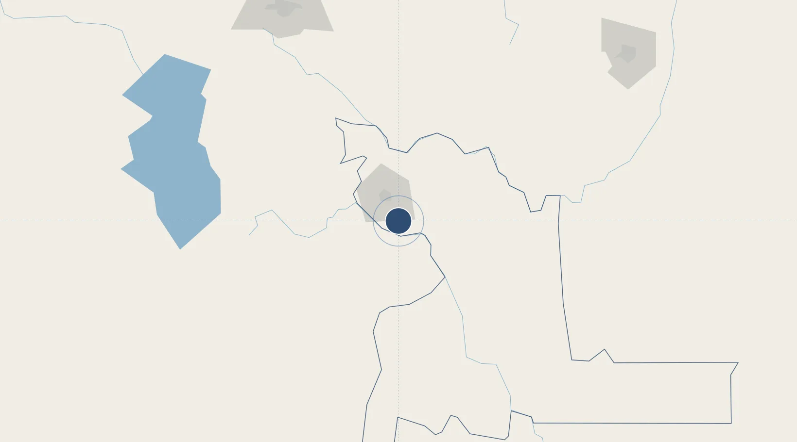
-19.2468°, -65.1496°
11,811 ft
Longest runway
1
Runways
10,184 ft
Elevation

Runway & Layout

Alcantarí International Airport runway & taxiway layout
Runway & taxiway layout — OpenStreetMap (ODbL) / OurAirports

Runways · 1

RunwayDimensions SurfaceTrue headingLit
18/36 11,811 × 148ft Asphalt
OurAirports

Airport Specifications

IATA code
SRE
OurAirports
ICAO code
SLAL
OurAirports
Airport class
Large airport
OurAirports
Scheduled service
Yes
OurAirports
Runway surface
Asphalt
OurAirports
Served city
Sucre
OurAirports

Location

Location of SLAL
Natural Earth 10m (public domain) · Chuquisaca · SLAL · -19.25, -65.15GoogleOSMYandex

Nearby Logistics Neighbours

Airports
  1. 1Juana Azurduy de Padilla Air Force Base30 km
  2. 2Capitan Nicolas Rojas Airport69 km
  3. 3Uyuni Joya Andina Airport223 km
  4. 4Jorge Wilsterman International Airport230 km
  5. 5Juan Mendoza International Airport249 km
Nearest neighbours — logibook spatial index (haversine) over the source coordinates
Cities
  1. 1Sucre26 km
  2. 2Aiquile120 km
  3. 3Sipe Sipe239 km
  4. 4Oruro251 km
  5. 5Santa Cruz277 km
Nearest neighbours — logibook spatial index (haversine) over the source coordinates
Ports
  1. 1Iquique536 km
  2. 2Rada De Arica552 km
  3. 3Caleta Patillos553 km
  4. 4Tocopilla616 km
  5. 5Puerto Ilo680 km
Nearest neighbours — logibook spatial index (haversine) over the source coordinates
Trade Zones
  1. 1Oruro Commercial and Industrial Free Zone240 km
  2. 2Zona Franca Oruro252 km
  3. 3Winner Commercial and Industrial Free Zone269 km
  4. 4Santa Cruz Commercial and Industrial Free Zone281 km
  5. 5Zofrapat Commercial and Industrial Free Zone366 km
Nearest neighbours — logibook spatial index (haversine) over the source coordinates
DatabookThe Record of Consolidated Knowledge
Bolivia beyond logistics?
Browse databook

All Sources

AirportsOurAirports
Public domain
Portsthe NGA World Port Index
Public domain (US gov)
LocationsUN/LOCODE
UN/LOCODE — free
Trade Zonesthe World Bank SEZ database
CC BY 4.0
Trade ZonesOpen Zone Map
CC BY
InfrastructureOpenStreetMap
ODbL 1.0
← Bolivia airports