Medium airport · Colombia

Las Flores AirportSKBC
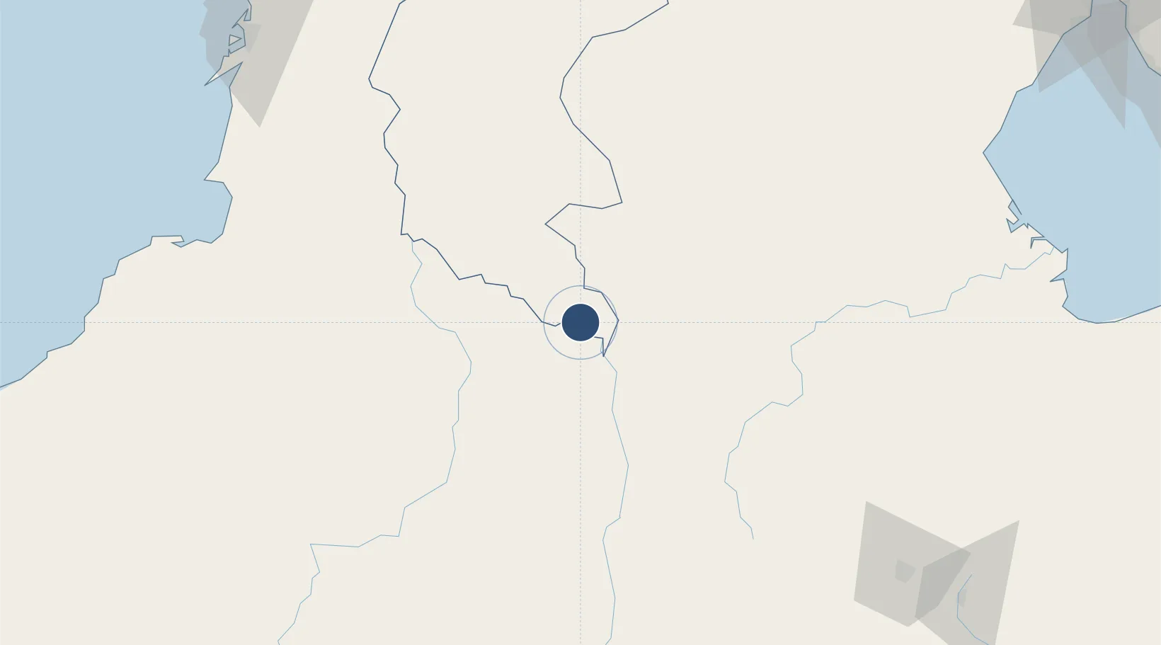
9.0455°, -73.9749°
3,985 ft
Longest runway
1
Runways
111 ft
Elevation

Runway & Layout

Las Flores Airport runway & taxiway layout
Runway & taxiway layout — OpenStreetMap (ODbL) / OurAirports

Radio Frequencies

TWR
118.3 MHz
RDO
348.8 MHz
EL BANCO RDO
OurAirports

Navaids

ELB VOR-DME El Banco 114.30 MHz
OurAirports

Runways · 1

RunwayDimensions SurfaceTrue headingLit
10/28 3,985 × 93ft Asphalt 100°
OurAirports

Airport Specifications

IATA code
ELB
OurAirports
ICAO code
SKBC
OurAirports
Airport class
Medium airport
OurAirports
Scheduled service
No
OurAirports
Runway surface
Asphalt
OurAirports
Served city
El Banco
OurAirports

Location

Location of SKBC
Natural Earth 10m (public domain) · Magdalena · SKBC · 9.05, -73.97GoogleOSMYandex

Nearby Logistics Neighbours

Airports
  1. 1Baracoa Airport99 km
  2. 2Aguas Claras Airport106 km
  3. 3Las Brujas Airport147 km
  4. 4Alfonso López Pumarejo Airport174 km
  5. 5Juan H White Airport180 km
Nearest neighbours — logibook spatial index (haversine) over the source coordinates
Cities
  1. 1La Jagua de Ibirico90 km
  2. 2El Carmen de Bolívar146 km
  3. 3Tolú185 km
  4. 4Covenas Offshore Terminal200 km
  5. 5Puerto Bolívar200 km
Nearest neighbours — logibook spatial index (haversine) over the source coordinates
Ports
  1. 1Covenas192 km
  2. 2Covenas Offshore Term.200 km
  3. 3Mamonal220 km
  4. 4El Bosque228 km
  5. 5Cartagena229 km
Nearest neighbours — logibook spatial index (haversine) over the source coordinates
Trade Zones
  1. 1Zona Franca de Cúcuta205 km
  2. 2Urema-San Antonio Special Border Economic Zone210 km
  3. 3Mardique Permanent Free Zone (Zona Franca Permanente Mardique)219 km
  4. 4Zona Franca la Candelaria219 km
  5. 5Parque Central Permanent Free Trade Zone219 km
Nearest neighbours — logibook spatial index (haversine) over the source coordinates
DatabookThe Record of Consolidated Knowledge
Colombia beyond logistics?
Browse databook

All Sources

AirportsOurAirports
Public domain
Portsthe NGA World Port Index
Public domain (US gov)
LocationsUN/LOCODE
UN/LOCODE — free
Trade Zonesthe World Bank SEZ database
CC BY 4.0
Trade ZonesOpen Zone Map
CC BY
InfrastructureOpenStreetMap
ODbL 1.0
← Colombia airports