Transport Functions
Multimodal
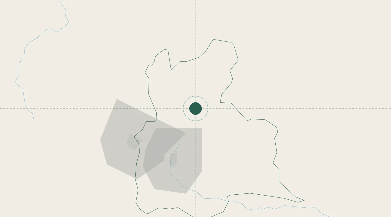
Hub Profile
Place type
Provincial seat
Region
Táchira
Time zone
America/Caracas
Elevation
880 m
Location
Nearby Logistics Neighbours
Cities
- 1Ureña49 km
- 2La Jagua de Ibirico210 km
- 3San Lorenzo/maracaibo L214 km
- 4Barrancabermeja232 km
- 5Chiquinquirá260 km
Ports
- 1San Lorenzo214 km
- 2La Salina257 km
- 3Bajo Grande269 km
- 4Maracaibo283 km
- 5Puerto Miranda298 km
Airports
DatabookThe Record of Consolidated Knowledge
Venezuela beyond logistics?