Medium airport · Venezuela
La Fria AirportSVLF
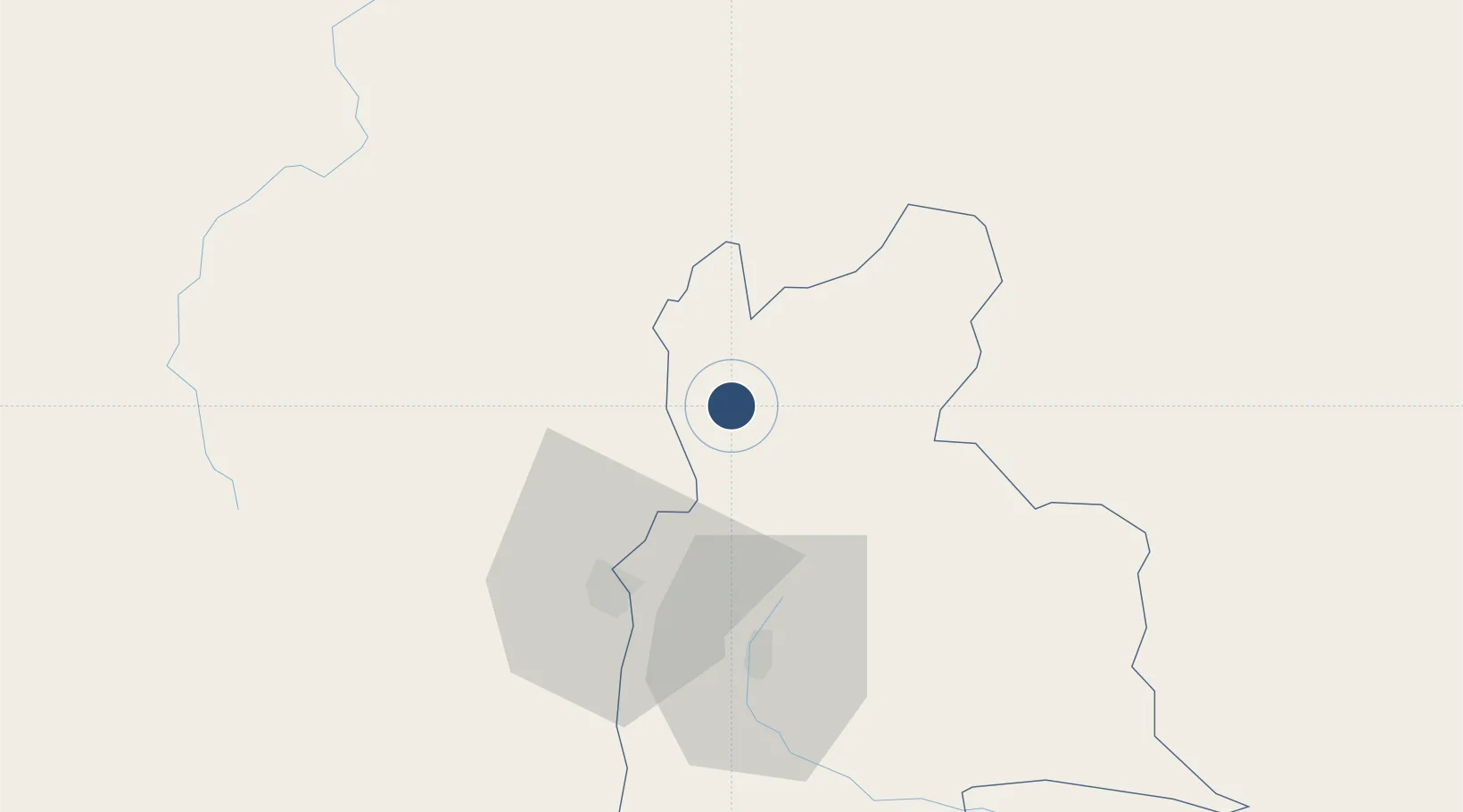
8.2392°, -72.2710°
6,643 ft
Longest runway
2
Runways
305 ft
Elevation
Runway & Layout

Radio Frequencies
TWR
118.8 MHz
Navaids
LFA VOR-DME La Fria 113.00 MHz
Runways · 2
| Runway | Dimensions | Surface | True heading | Lit |
|---|---|---|---|---|
| 01/19 | 6,643 × 190ft | Asphalt | 360° | ✓ |
| 18/36 | — | Unknown | — | — |
Airport Specifications
IATA code
LFR
ICAO code
SVLF
Airport class
Medium airport
Scheduled service
No
Runway surface
Asphalt
Location
Nearby Logistics Neighbours
Airports
Cities
- 1Seboruco25 km
- 2Ureña41 km
- 3La Jagua de Ibirico187 km
- 4San Lorenzo/maracaibo L217 km
- 5Barrancabermeja219 km
Ports
- 1San Lorenzo217 km
- 2La Salina253 km
- 3Bajo Grande263 km
- 4Maracaibo276 km
- 5Puerto Miranda292 km
DatabookThe Record of Consolidated Knowledge
Venezuela beyond logistics?