Medium airport · Colombia

Camilo Daza International AirportSKCC
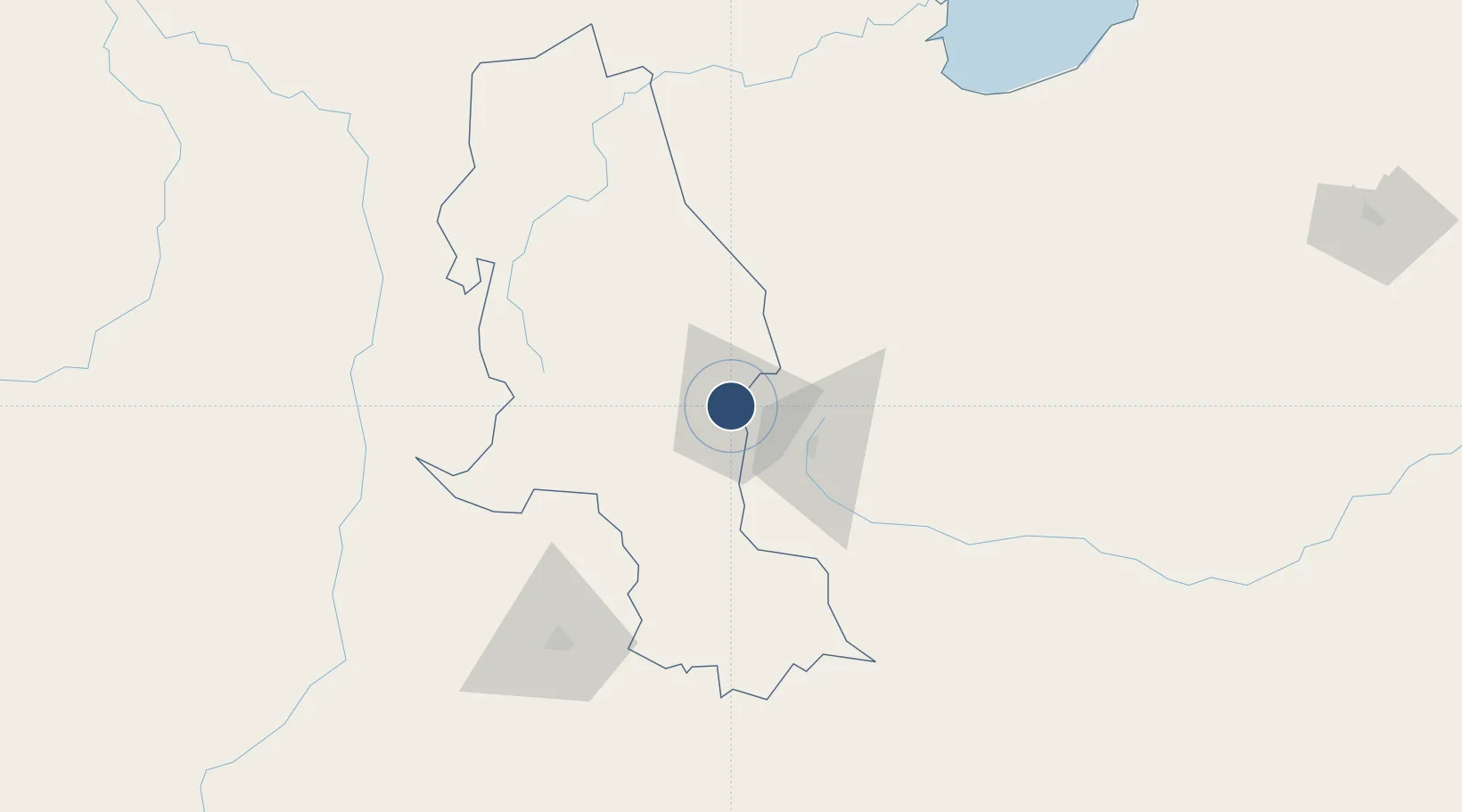
7.9276°, -72.5115°
7,700 ft
Longest runway
2
Runways
1,096 ft
Elevation

Runway & Layout

Camilo Daza International Airport runway & taxiway layout
Runway & taxiway layout — OpenStreetMap (ODbL) / OurAirports

Radio Frequencies

TWR
118.1 MHz
APP
119.9 MHz
CUCUTA APP
RDO
348.8 MHz
CUCUTA RDO
OurAirports

Navaids

CU NDB Cucuta 395 kHz
CUC VOR-DME Cucuta 113.30 MHz
OurAirports

Runways · 2

RunwayDimensions SurfaceTrue headingLit
16/34 7,700 × 148ft Asphalt 148°
03/21 6,341 × 148ft Asphalt 017°
OurAirports

Airport Specifications

IATA code
CUC
OurAirports
ICAO code
SKCC
OurAirports
Airport class
Medium airport
OurAirports
Scheduled service
Yes
OurAirports
Runway surface
Asphalt
OurAirports
Served city
Cúcuta
OurAirports

Location

Location of SKCC
Natural Earth 10m (public domain) · Norte de Santander · SKCC · 7.93, -72.51GoogleOSMYandex

Nearby Logistics Neighbours

Airports
  1. 1Juan Vicente Gómez International Airport13 km
  2. 2Paramillo Airport37 km
  3. 3La Fria Airport44 km
  4. 4Mayor Buenaventura Vivas International Airport66 km
  5. 5Aguas Claras Airport103 km
Nearest neighbours — logibook spatial index (haversine) over the source coordinates
Cities
  1. 1Ureña7 km
  2. 2Seboruco54 km
  3. 3Barrancabermeja178 km
  4. 4La Jagua de Ibirico202 km
  5. 5San Lorenzo/maracaibo L260 km
Nearest neighbours — logibook spatial index (haversine) over the source coordinates
Ports
  1. 1San Lorenzo260 km
  2. 2La Salina295 km
  3. 3Bajo Grande304 km
  4. 4Maracaibo317 km
  5. 5Puerto Miranda332 km
Nearest neighbours — logibook spatial index (haversine) over the source coordinates
DatabookThe Record of Consolidated Knowledge
Colombia beyond logistics?
Browse databook

All Sources

AirportsOurAirports
Public domain
Portsthe NGA World Port Index
Public domain (US gov)
LocationsUN/LOCODE
UN/LOCODE — free
Trade Zonesthe World Bank SEZ database
CC BY 4.0
Trade ZonesOpen Zone Map
CC BY
InfrastructureOpenStreetMap
ODbL 1.0
← Colombia airports