Medium airport · Venezuela

Juan Vicente Gómez International AirportSVSA
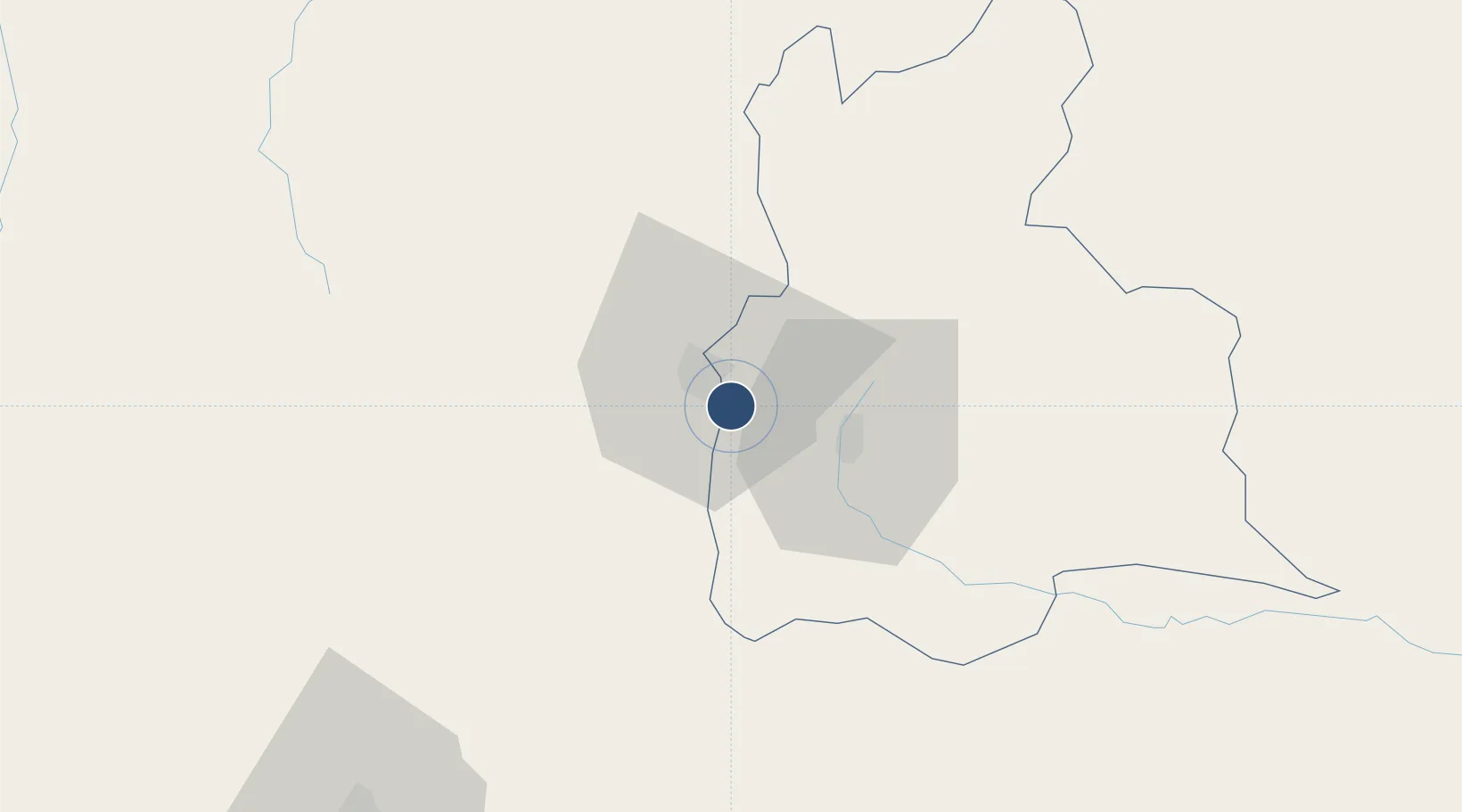
7.8408°, -72.4399°
6,135 ft
Longest runway
1
Runways
1,312 ft
Elevation

Runway & Layout

Juan Vicente Gómez International Airport runway & taxiway layout
Runway & taxiway layout — OpenStreetMap (ODbL) / OurAirports

Radio Frequencies

TWR
118.5 MHz
GND
121.9 MHz
OurAirports

Runways · 1

RunwayDimensions SurfaceTrue headingLit
17/35 6,135 × 131ft Asphalt 166°
OurAirports

Airport Specifications

IATA code
SVZ
OurAirports
ICAO code
SVSA
OurAirports
Airport class
Medium airport
OurAirports
Scheduled service
Yes
OurAirports
Runway surface
Asphalt
OurAirports
Served city
San Antonio del Tachira
OurAirports

Location

Location of SVSA
Natural Earth 10m (public domain) · Táchira · SVSA · 7.84, -72.44GoogleOSMYandex

Nearby Logistics Neighbours

Airports
  1. 1Camilo Daza International Airport13 km
  2. 2Paramillo Airport27 km
  3. 3La Fria Airport48 km
  4. 4Mayor Buenaventura Vivas International Airport54 km
  5. 5Aguas Claras Airport114 km
Nearest neighbours — logibook spatial index (haversine) over the source coordinates
Cities
  1. 1Ureña9 km
  2. 2Seboruco52 km
  3. 3Barrancabermeja181 km
  4. 4La Jagua de Ibirico214 km
  5. 5San Lorenzo/maracaibo L264 km
Nearest neighbours — logibook spatial index (haversine) over the source coordinates
Ports
  1. 1San Lorenzo264 km
  2. 2La Salina301 km
  3. 3Bajo Grande310 km
  4. 4Maracaibo324 km
  5. 5Puerto Miranda339 km
Nearest neighbours — logibook spatial index (haversine) over the source coordinates
DatabookThe Record of Consolidated Knowledge
Venezuela beyond logistics?
Browse databook

All Sources

AirportsOurAirports
Public domain
Portsthe NGA World Port Index
Public domain (US gov)
LocationsUN/LOCODE
UN/LOCODE — free
Trade Zonesthe World Bank SEZ database
CC BY 4.0
Trade ZonesOpen Zone Map
CC BY
InfrastructureOpenStreetMap
ODbL 1.0
← Venezuela airports