Medium airport · Venezuela

Paramillo AirportSVPM
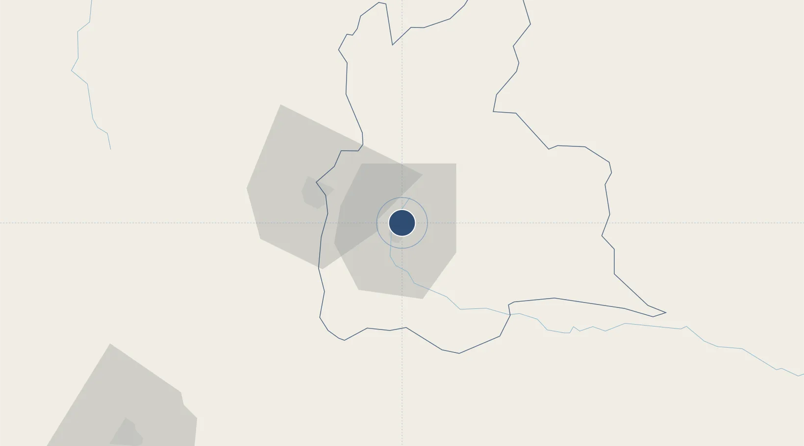
7.8013°, -72.2029°
3,571 ft
Longest runway
1
Runways
3,314 ft
Elevation

Runway & Layout

Paramillo Airport runway & taxiway layout
Runway & taxiway layout — OpenStreetMap (ODbL) / OurAirports

Radio Frequencies

TWR
122.6 MHz
OurAirports

Navaids

PRM NDB Paramillo 310 kHz
OurAirports

Runways · 1

RunwayDimensions SurfaceTrue headingLit
02/20 3,571 × 129ft Asphalt 012°
OurAirports

Airport Specifications

IATA code
SCI
OurAirports
ICAO code
SVPM
OurAirports
Airport class
Medium airport
OurAirports
Scheduled service
No
OurAirports
Runway surface
Asphalt
OurAirports
Served city
San Cristóbal
OurAirports

Location

Location of SVPM
Natural Earth 10m (public domain) · Táchira · SVPM · 7.80, -72.20GoogleOSMYandex

Nearby Logistics Neighbours

Airports
  1. 1Juan Vicente Gómez International Airport27 km
  2. 2Mayor Buenaventura Vivas International Airport32 km
  3. 3Camilo Daza International Airport37 km
  4. 4La Fria Airport49 km
  5. 5Los Colonizadores Airport102 km
Nearest neighbours — logibook spatial index (haversine) over the source coordinates
Cities
  1. 1Ureña30 km
  2. 2Seboruco40 km
  3. 3Barrancabermeja202 km
  4. 4La Jagua de Ibirico231 km
  5. 5San Lorenzo/maracaibo L253 km
Nearest neighbours — logibook spatial index (haversine) over the source coordinates
Ports
  1. 1San Lorenzo253 km
  2. 2La Salina297 km
  3. 3Bajo Grande308 km
  4. 4Maracaibo322 km
  5. 5Puerto Miranda337 km
Nearest neighbours — logibook spatial index (haversine) over the source coordinates
DatabookThe Record of Consolidated Knowledge
Venezuela beyond logistics?
Browse databook

All Sources

AirportsOurAirports
Public domain
Portsthe NGA World Port Index
Public domain (US gov)
LocationsUN/LOCODE
UN/LOCODE — free
Trade Zonesthe World Bank SEZ database
CC BY 4.0
Trade ZonesOpen Zone Map
CC BY
InfrastructureOpenStreetMap
ODbL 1.0
← Venezuela airports