Transport Functions
Multimodal
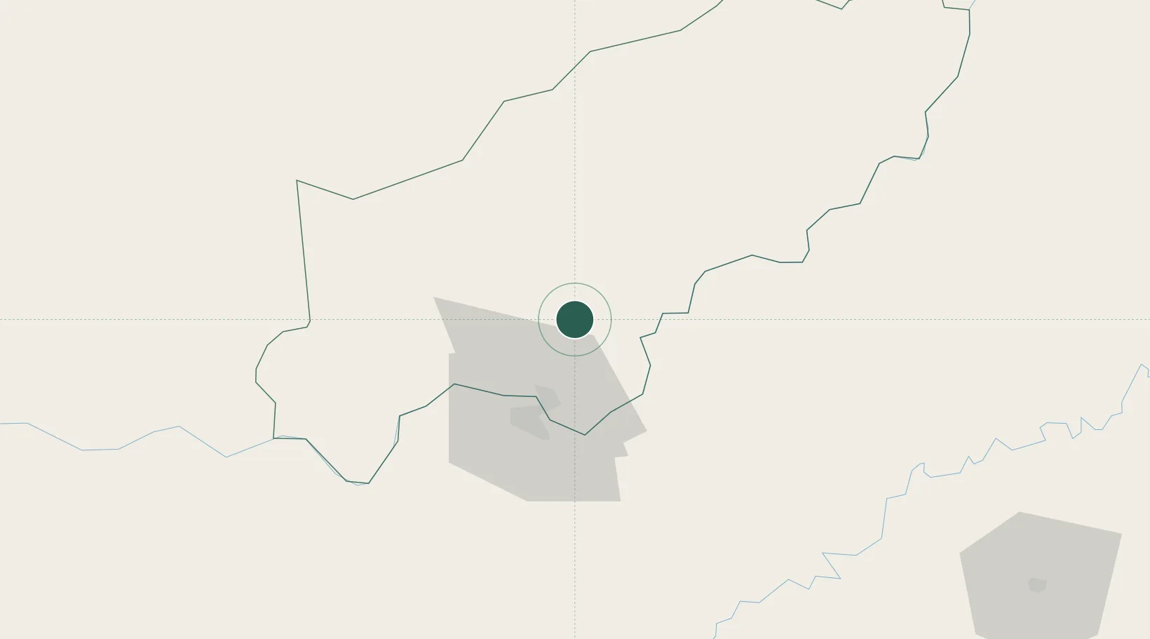
Hub Profile
Place type
Populated place
Region
Itapúa
Population
2,837
Time zone
America/Asuncion
Elevation
156 m
Location
Nearby Logistics Neighbours
Cities
- 1Obligado18 km
- 2Fram18 km
- 3Encarnación27 km
- 4San Ignacio27 km
- 5Santa Ana31 km
Ports
- 1Puerto De Asuncion280 km
- 2Concordia524 km
- 3Porto Alegre550 km
- 4Colon611 km
- 5Pelotas617 km
Airports
Trade Zones
- 1Zona Franca Puerto Iguazu Free Trade Zone208 km
- 2Zona Franca Global210 km
- 3Zona Franca Internacional210 km
- 4Rivera Free Zone426 km
- 5ZPE de Rio Grande (RS)654 km
DatabookThe Record of Consolidated Knowledge
Paraguay beyond logistics?