Medium airport · Paraguay

Aeropuerto Nacional de Coronel OviedoPY-0002
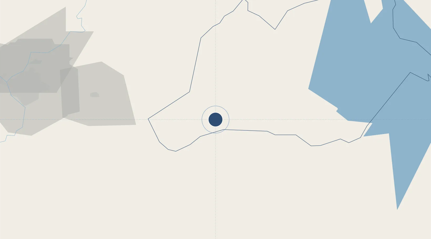
-25.5173°, -56.4066°
487 ft
Elevation

Runway & Layout

Aeropuerto Nacional de Coronel Oviedo runway & taxiway layout
Runway & taxiway layout — OpenStreetMap (ODbL) / OurAirports

Airport Specifications

ICAO code
SGOV
OurAirports
Airport class
Medium airport
OurAirports
Scheduled service
No
OurAirports
Served city
Coronel Oviedo
OurAirports

Location

Location of PY-0002
Natural Earth 10m (public domain) · Caaguazú · PY-0002 · -25.52, -56.41GoogleOSMYandex

Nearby Logistics Neighbours

Airports
  1. 1Silvio Pettirossi International Airport116 km
  2. 2Guaraní International Airport157 km
  3. 3Itaipú Airport180 km
  4. 4Cataratas International Airport193 km
  5. 5Cataratas Del Iguazú International Airport195 km
Nearest neighbours — logibook spatial index (haversine) over the source coordinates
Cities
  1. 1Coronel Oviedo12 km
  2. 2Villarrica26 km
  3. 3Caaguazu40 km
  4. 4Caraguatay52 km
  5. 5Iturbe60 km
Nearest neighbours — logibook spatial index (haversine) over the source coordinates
Ports
  1. 1Puerto De Asuncion131 km
  2. 2Concordia673 km
  3. 3Porto Alegre715 km
  4. 4Colon764 km
  5. 5Paysandu773 km
Nearest neighbours — logibook spatial index (haversine) over the source coordinates
Trade Zones
  1. 1Zona Franca Global170 km
  2. 2Zona Franca Internacional171 km
  3. 3Zona Franca Puerto Iguazu Free Trade Zone185 km
  4. 4ZPE de Bataguassú (MS)589 km
  5. 5Rivera Free Zone609 km
Nearest neighbours — logibook spatial index (haversine) over the source coordinates
DatabookThe Record of Consolidated Knowledge
Paraguay beyond logistics?
Browse databook

All Sources

AirportsOurAirports
Public domain
Portsthe NGA World Port Index
Public domain (US gov)
LocationsUN/LOCODE
UN/LOCODE — free
Trade Zonesthe World Bank SEZ database
CC BY 4.0
Trade ZonesOpen Zone Map
CC BY
InfrastructureOpenStreetMap
ODbL 1.0
← Paraguay airports