Seaport · Uruguay

PaysanduUYPDU

-32.3167°, -58.0667°
3.4 m
Channel depth
7.4
Port liner connectivity

Channel & Berth Profile

SEA LEVEL (CD)CHANNEL BEDChannel · 3.4 mCargo pier · 6.4 m
NGA World Port Index

Pilotage, Tugs & Services

Pilotage compulsoryYES
Tug assistanceNO
Potable waterYES
Diesel bunkersNO
MedicalYES
NGA World Port Index

Facilities & Capabilities

Container
Ro-Ro
Liquid bulk
Dry bulk
Oil terminal
Break bulk
Dry dock
RepairsNO
BunkeringNO
Rail linkYES
Dangerous cargo
ISPS security
NGA World Port Index

Harbour Specifications

Harbour size
Small
NGA World Port Index
Harbour type
River (Natural)
NGA World Port Index
Shelter
Good
NGA World Port Index
Water body
Rio de la Plata; South Atlantic Ocean
NGA World Port Index
Tidal range
1 m
NGA World Port Index
Pilotage
Yes
NGA World Port Index

Liner Connectivity

7.4
PLSCI

Port Liner Shipping Connectivity Index for Paysandu, as published by UNCTAD for the latest available quarter. Higher values indicate stronger scheduled liner-shipping integration.

Shown relative to the highest per-port PLSCI in the dataset (1,657.9).
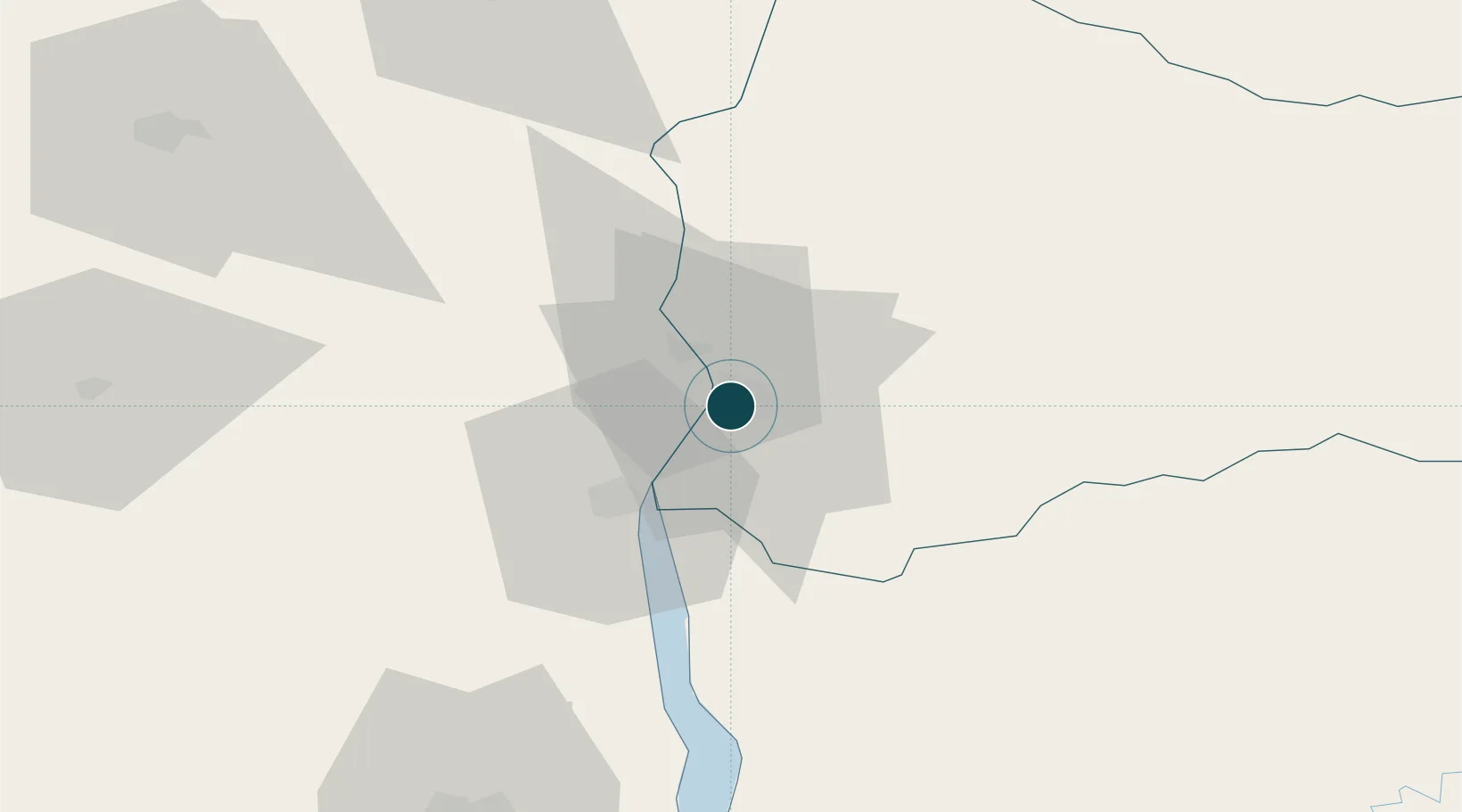
UNCTAD · Port Liner Shipping Connectivity Index

Location

Location of UYPDU
Natural Earth 10m (public domain) · Paysandú · UYPDU · -32.32, -58.07GoogleOSMYandex

Nearby Logistics Neighbours

Ports
  1. 1Colon13 km
  2. 2Concepcion Del Uruguay24 km
  3. 3Fray Bentos92 km
  4. 4Concordia102 km
  5. 5Nueva Palmira177 km
Nearest neighbours — logibook spatial index (haversine) over the source coordinates
Cities
  1. 1Colón13 km
  2. 2Concepción del Uruguay24 km
  3. 3Nuevo Berlin74 km
  4. 4Urdurrain87 km
  5. 5San Salvador88 km
Nearest neighbours — logibook spatial index (haversine) over the source coordinates
Airports
  1. 1Tydeo Larre Borges Airport5 km
  2. 2Gualeguaychu Airport92 km
  3. 3Nueva Hesperides International Airport98 km
  4. 4Comodoro Pierrestegui Airport114 km
  5. 5Santa Bernardina International Airport187 km
Nearest neighbours — logibook spatial index (haversine) over the source coordinates
Trade Zones
  1. 1UPM Fray Bentos Free Zone91 km
  2. 2Zona Franca UPM91 km
  3. 3Nueva Palmira Free Zone178 km
  4. 4Montes de Plata Free Zone212 km
  5. 5Nueva Helvecia Free Zone236 km
Nearest neighbours — logibook spatial index (haversine) over the source coordinates
DatabookThe Record of Consolidated Knowledge
Uruguay beyond logistics?
Browse databook

All Sources

Portsthe NGA World Port Index
Public domain (US gov)
Logistics performanceUNCTAD
CC BY 3.0 IGO
AirportsOurAirports
Public domain
LocationsUN/LOCODE
UN/LOCODE — free
Trade Zonesthe World Bank SEZ database
CC BY 4.0
Trade ZonesOpen Zone Map
CC BY
← Uruguay ports