UN/LOCODE hub · Argentina
ARCDL
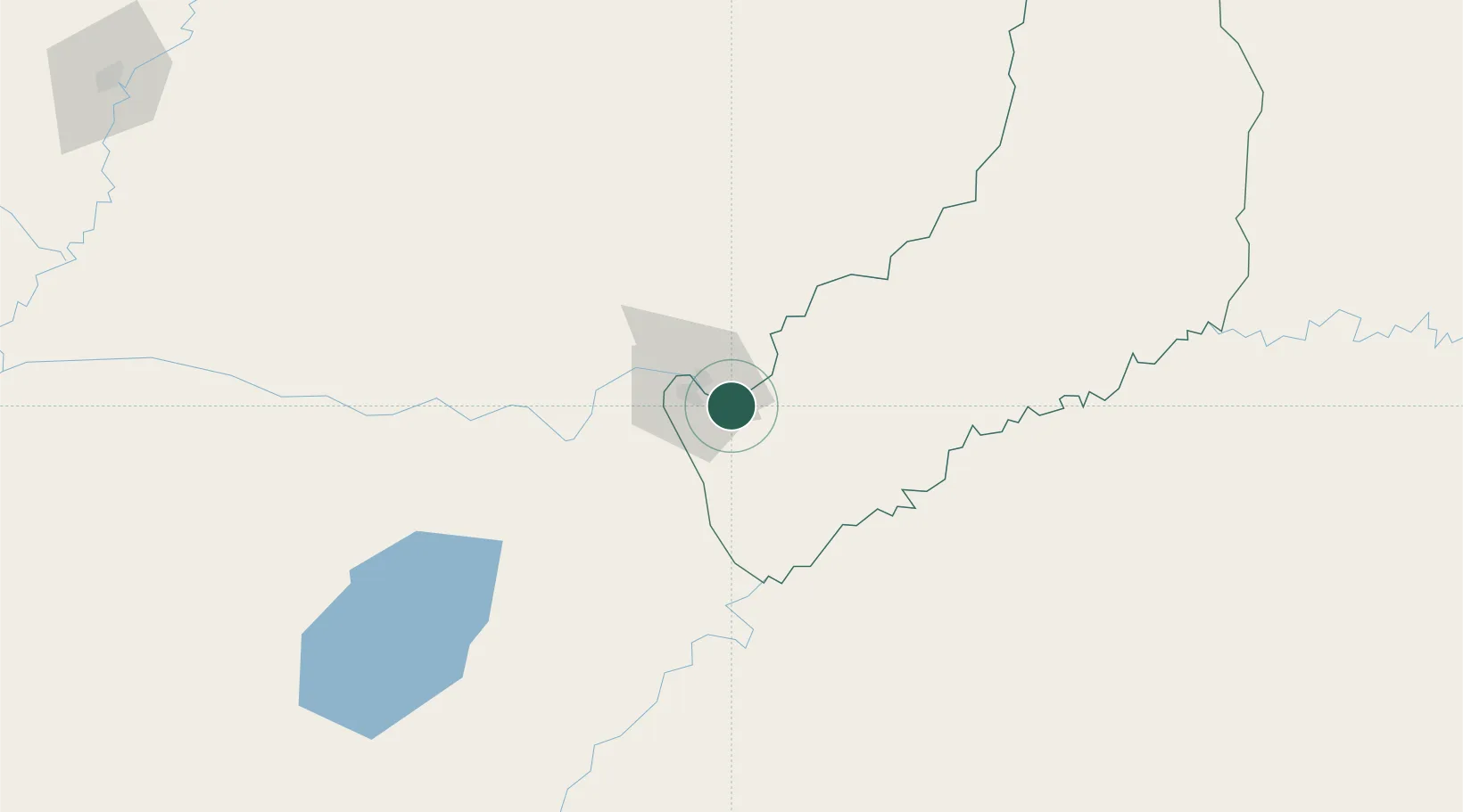
Candelaria
-27.4500°, -55.7500°
11,039
Population
1
Transport functions
Transport Functions
Port
Hub Profile
Place type
Populated place
Region
Misiones
Population
11,039
Time zone
America/Argentina/Cordoba
Elevation
104 m
Location
Nearby Logistics Neighbours
Cities
- 1Encarnación20 km
- 2Santa Ana21 km
- 3Posadas25 km
- 4San Ignacio27 km
- 5Cerro Azul33 km
Ports
- 1Puerto De Asuncion310 km
- 2Concordia492 km
- 3Porto Alegre526 km
- 4Colon578 km
- 5Pelotas584 km
Airports
Trade Zones
- 1Zona Franca Puerto Iguazu Free Trade Zone237 km
- 2Zona Franca Global241 km
- 3Zona Franca Internacional241 km
- 4Rivera Free Zone389 km
- 5ZPE de Rio Grande (RS)621 km
DatabookThe Record of Consolidated Knowledge
Argentina beyond logistics?