Transport Functions
Port
Hub Profile
Place type
Provincial seat
Region
Misiones
Time zone
America/Argentina/Cordoba
Elevation
115 m
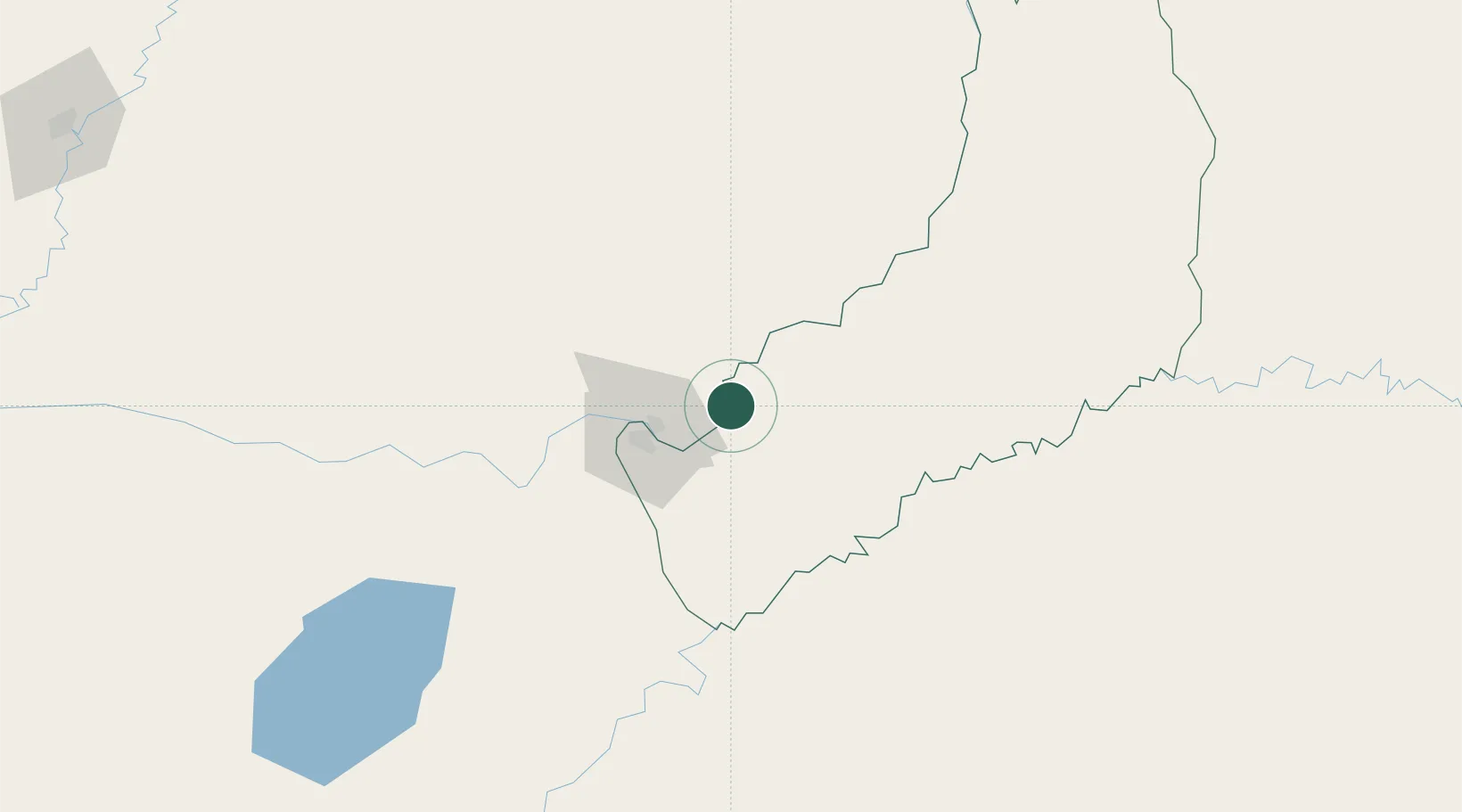
Location
Nearby Logistics Neighbours
Cities
- 1Santa Ana8 km
- 2Obligado27 km
- 3Trinidad27 km
- 4Candelaria27 km
- 5Encarnación34 km
Ports
- 1Puerto De Asuncion307 km
- 2Concordia518 km
- 3Porto Alegre523 km
- 4Pelotas592 km
- 5Colon604 km
Airports
Trade Zones
- 1Zona Franca Puerto Iguazu Free Trade Zone210 km
- 2Zona Franca Global215 km
- 3Zona Franca Internacional215 km
- 4Rivera Free Zone409 km
- 5ZPE de Rio Grande (RS)629 km
DatabookThe Record of Consolidated Knowledge
Argentina beyond logistics?