Medium airport · Paraguay

Aeropuerto Nacional Juan de AyolasSGAY
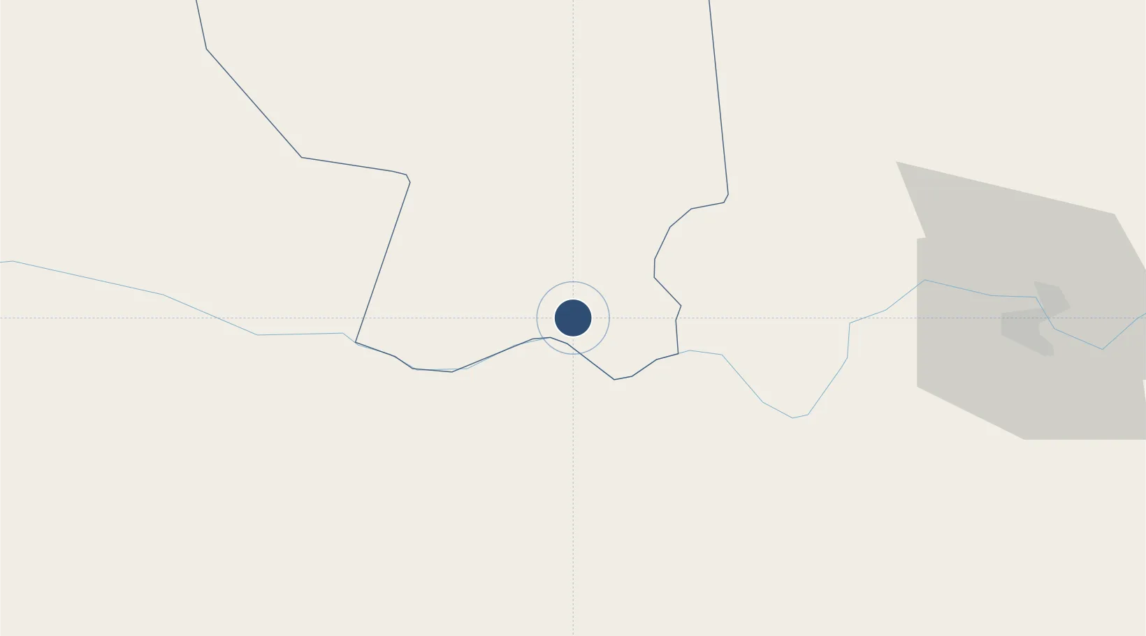
-27.3784°, -56.8568°
6,070 ft
Longest runway
1
Runways
223 ft
Elevation

Runway & Layout

Aeropuerto Nacional Juan de Ayolas runway & taxiway layout
Runway & taxiway layout — OpenStreetMap (ODbL) / OurAirports

Runways · 1

RunwayDimensions SurfaceTrue headingLit
02/20 6,070 × 148ft Asphalt 010°
OurAirports

Airport Specifications

IATA code
AYO
OurAirports
ICAO code
SGAY
OurAirports
Airport class
Medium airport
OurAirports
Scheduled service
No
OurAirports
Runway surface
Asphalt
OurAirports
Served city
Ayolas
OurAirports

Location

Location of SGAY
Natural Earth 10m (public domain) · Misiones · SGAY · -27.38, -56.86GoogleOSMYandex

Nearby Logistics Neighbours

Airports
  1. 1Libertador Gral D Jose De San Martin Airport88 km
  2. 2Teniente Ramon A. Ayub Gonzalez International Airport102 km
  3. 3Aeródromo Don Carlos Miguel Gimenez155 km
  4. 4Formosa National Airport188 km
  5. 5Corrientes Airport188 km
Nearest neighbours — logibook spatial index (haversine) over the source coordinates
Cities
  1. 1San Ygnacio60 km
  2. 2Carmen del Paraná65 km
  3. 3Posadas86 km
  4. 4San Pedro del Paraná89 km
  5. 5Encarnación95 km
Nearest neighbours — logibook spatial index (haversine) over the source coordinates
Ports
  1. 1Puerto De Asuncion249 km
  2. 2Concordia462 km
  3. 3Colon552 km
  4. 4Paysandu561 km
  5. 5Concepcion Del Uruguay583 km
Nearest neighbours — logibook spatial index (haversine) over the source coordinates
Trade Zones
  1. 1Zona Franca Global299 km
  2. 2Zona Franca Internacional300 km
  3. 3Zona Franca Puerto Iguazu Free Trade Zone302 km
  4. 4Rivera Free Zone416 km
  5. 5UPM Fray Bentos Free Zone653 km
Nearest neighbours — logibook spatial index (haversine) over the source coordinates
DatabookThe Record of Consolidated Knowledge
Paraguay beyond logistics?
Browse databook

All Sources

AirportsOurAirports
Public domain
Portsthe NGA World Port Index
Public domain (US gov)
LocationsUN/LOCODE
UN/LOCODE — free
Trade Zonesthe World Bank SEZ database
CC BY 4.0
Trade ZonesOpen Zone Map
CC BY
InfrastructureOpenStreetMap
ODbL 1.0
← Paraguay airports