UN/LOCODE hub · Paraguay
PYENO
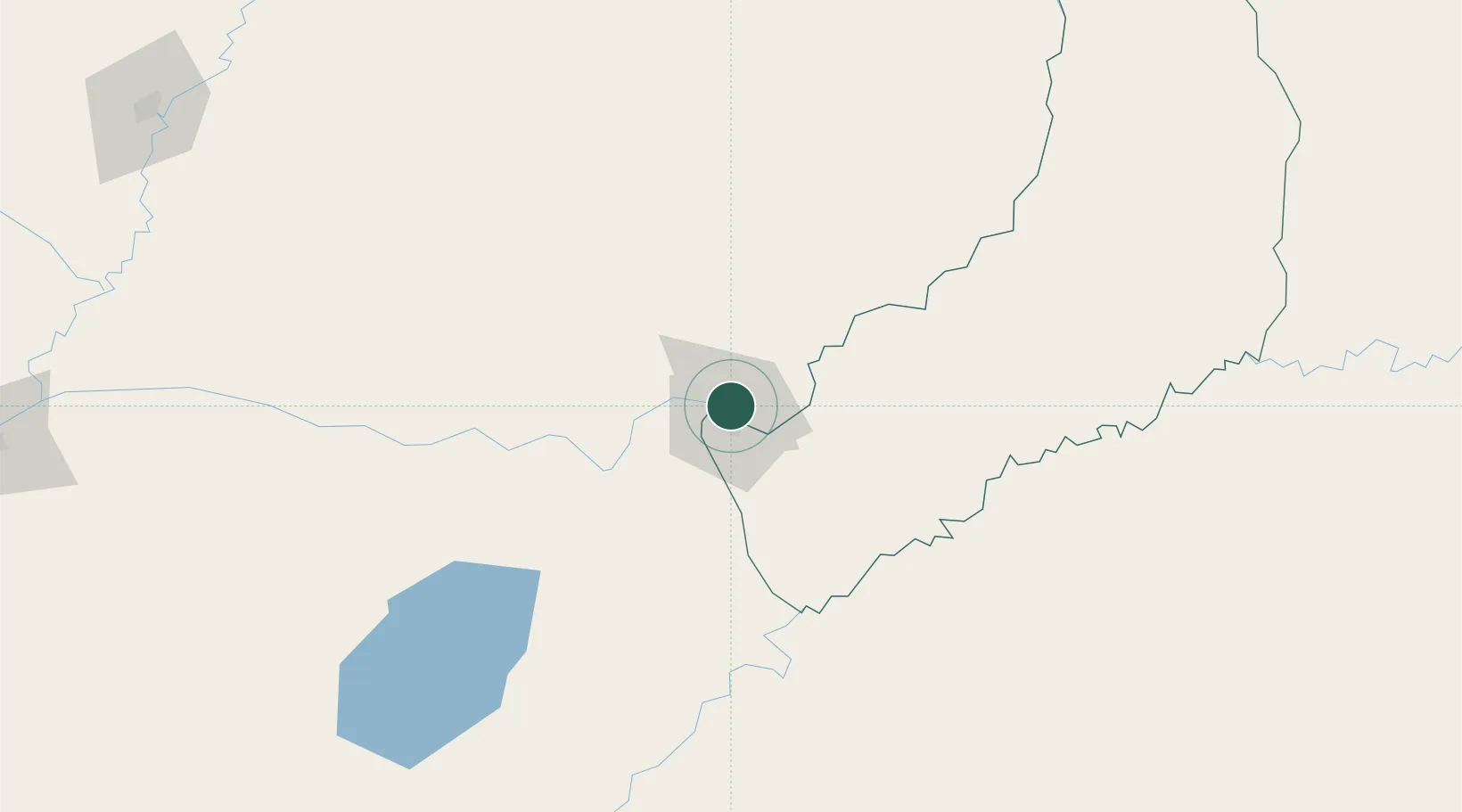
Encarnación
-27.3333°, -55.9000°
74,983
Population
3
Transport functions
Transport Functions
Port
Airport
Postal
Hub Profile
Place type
Regional capital
Region
Itapúa
Population
74,983
Time zone
America/Asuncion
Elevation
99 m
Location
Nearby Logistics Neighbours
Cities
- 1Posadas9 km
- 2Candelaria20 km
- 3Trinidad27 km
- 4Santa Ana31 km
- 5Carmen del Paraná33 km
Ports
- 1Puerto De Asuncion291 km
- 2Concordia497 km
- 3Porto Alegre545 km
- 4Colon584 km
- 5Paysandu592 km
Airports
Trade Zones
- 1Zona Franca Puerto Iguazu Free Trade Zone234 km
- 2Zona Franca Global236 km
- 3Zona Franca Internacional237 km
- 4Rivera Free Zone403 km
- 5ZPE de Rio Grande (RS)640 km
DatabookThe Record of Consolidated Knowledge
Paraguay beyond logistics?