Medium airport · Brazil

Major Brigadeiro Doorgal Borges AirportSBBQ
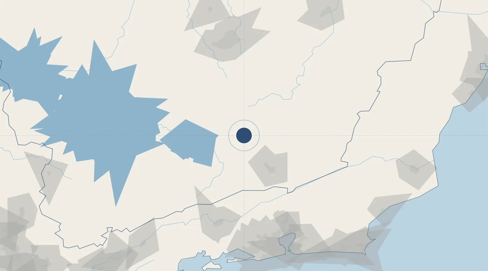
-21.2672°, -43.7610°
5,774 ft
Longest runway
1
Runways
3,657 ft
Elevation

Runway & Layout

Major Brigadeiro Doorgal Borges Airport runway & taxiway layout
Runway & taxiway layout — OpenStreetMap (ODbL) / OurAirports

Radio Frequencies

AFIS
125.9 MHz
RDO
OurAirports

Navaids

BBC NDB Barbacena 285 kHz
OurAirports

Runways · 1

RunwayDimensions SurfaceTrue headingLit
18/36 5,774 × 98ft Asphalt
OurAirports

Airport Specifications

ICAO code
SBBQ
OurAirports
Airport class
Medium airport
OurAirports
Scheduled service
No
OurAirports
Runway surface
Asphalt
OurAirports
Served city
Barbacena
OurAirports

Location

Location of SBBQ
Natural Earth 10m (public domain) · Minas Gerais · SBBQ · -21.27, -43.76GoogleOSMYandex

Nearby Logistics Neighbours

Airports
  1. 1Presidente Itamar Franco Airport67 km
  2. 2Francisco de Assis Airport70 km
  3. 3Pampulha - Carlos Drummond de Andrade Airport159 km
  4. 4Rio Galeão – Tom Jobim International Airport179 km
  5. 5Major Brigadeiro Trompowsky Airport181 km
Nearest neighbours — logibook spatial index (haversine) over the source coordinates
Cities
  1. 1Barbacena6 km
  2. 2Carandaí36 km
  3. 3São João del Rei53 km
  4. 4Juiz de Fora70 km
  5. 5Ouro Branco84 km
Nearest neighbours — logibook spatial index (haversine) over the source coordinates
Ports
  1. 1Niteroi192 km
  2. 2Rio De Janeiro192 km
  3. 3Angra Dos Reis203 km
  4. 4Macae239 km
  5. 5Porto Do Forno261 km
Nearest neighbours — logibook spatial index (haversine) over the source coordinates
Trade Zones
  1. 1ZPE de Itaguaí (RJ)182 km
  2. 2ZPE do Açú (RJ)288 km
  3. 3ZPE de Aracruz (ES)422 km
  4. 4ZPE de Teófilo Otoni (MG)447 km
  5. 5ZPE de Uberaba (MG)473 km
Nearest neighbours — logibook spatial index (haversine) over the source coordinates
DatabookThe Record of Consolidated Knowledge
Brazil beyond logistics?
Browse databook

All Sources

AirportsOurAirports
Public domain
Portsthe NGA World Port Index
Public domain (US gov)
LocationsUN/LOCODE
UN/LOCODE — free
Trade Zonesthe World Bank SEZ database
CC BY 4.0
Trade ZonesOpen Zone Map
CC BY
InfrastructureOpenStreetMap
ODbL 1.0
← Brazil airports