Transport Functions
Rail
Road
Airport
Multimodal
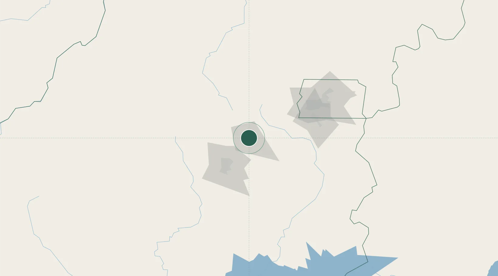
Hub Profile
Place type
Populated place
Region
Goiás
Population
319,587
Time zone
America/Sao_Paulo
Elevation
1,003 m
Location
Nearby Logistics Neighbours
Cities
- 1Goiânia50 km
- 2Luziânia107 km
- 3Brasília129 km
- 4Pires do Rio131 km
- 5Ipameri177 km
Ports
- 1Angra Dos Reis889 km
- 2Santos893 km
- 3Sao Sebastiao911 km
- 4Rio De Janeiro950 km
- 5Niteroi952 km
Airports
Trade Zones
- 1ZPE de Uberaba (MG)390 km
- 2ZPE de Fernandópolis (SP)465 km
- 3ZPE de Bataguassú (MS)700 km
- 4ZPE de Teófilo Otoni (MG)812 km
- 5ZPE de Itaguaí (RJ)911 km
DatabookThe Record of Consolidated Knowledge
Brazil beyond logistics?