Transport Functions
Rail
Road
Airport
Multimodal
Hub Profile
Place type
National capital
Region
Federal District
Population
2,207,718
Time zone
America/Sao_Paulo
Elevation
1,136 m
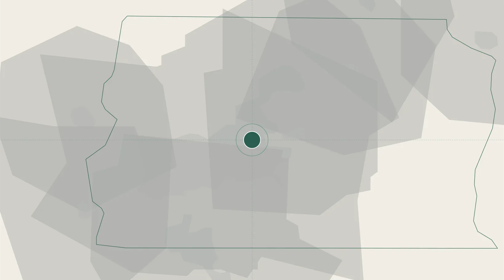
Location
Nearby Logistics Neighbours
Cities
- 1Luziânia52 km
- 2Anápolis129 km
- 3Pires do Rio174 km
- 4Goiânia176 km
- 5Ipameri217 km
Ports
- 1Angra Dos Reis887 km
- 2Santos923 km
- 3Sao Sebastiao928 km
- 4Rio De Janeiro933 km
- 5Niteroi934 km
Airports
Trade Zones
- 1ZPE de Uberaba (MG)435 km
- 2ZPE de Fernandópolis (SP)563 km
- 3ZPE de Teófilo Otoni (MG)719 km
- 4ZPE de Bataguassú (MS)812 km
- 5ZPE de Itaguaí (RJ)902 km
DatabookThe Record of Consolidated Knowledge
Brazil beyond logistics?