Small airport · Brazil

Fazenda Rosa do Deserto AirstripBR-0925
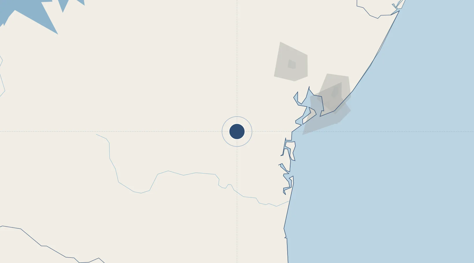
-13.2400°, -39.7593°
1,411 ft
Elevation

Runway & Layout

Fazenda Rosa do Deserto Airstrip runway & taxiway layout
Runway & taxiway layout — OpenStreetMap (ODbL) / OurAirports

Airport Specifications

ICAO code
SDYG
OurAirports
Airport class
Small airport
OurAirports
Scheduled service
Yes
OurAirports
Served city
Ubaíra
OurAirports

Location

Location of BR-0925
Natural Earth 10m (public domain) · Bahia · BR-0925 · -13.24, -39.76GoogleOSMYandex

Nearby Logistics Neighbours

Airports
  1. 1Valença Airport83 km
  2. 2Morro de São Paulo Airport94 km
  3. 3Barra Grande Airport115 km
  4. 4João Durval Carneiro Airport148 km
  5. 5Deputado Luiz Eduardo Magalhães International Airport160 km
Nearest neighbours — logibook spatial index (haversine) over the source coordinates
Cities
  1. 1Salvador92 km
  2. 2Maragogipe105 km
  3. 3Madre de Deus138 km
  4. 4Aratu Pt / Candeias146 km
  5. 5Candeias147 km
Nearest neighbours — logibook spatial index (haversine) over the source coordinates
Ports
  1. 1Madre De Deus135 km
  2. 2Port De Salvador138 km
  3. 3Aratu146 km
  4. 4Port Of Ilheus189 km
  5. 5Port De Aracaju392 km
Nearest neighbours — logibook spatial index (haversine) over the source coordinates
Trade Zones
  1. 1Zona Franca Ilhéus (BA)157 km
  2. 2ZPE de Barra dos Coqueiros (SE)395 km
  3. 3ZPE de Teófilo Otoni (MG)547 km
  4. 4ZPE de Aracruz (ES)724 km
  5. 5ZPE de Suape (PE)751 km
Nearest neighbours — logibook spatial index (haversine) over the source coordinates
DatabookThe Record of Consolidated Knowledge
Brazil beyond logistics?
Browse databook

All Sources

AirportsOurAirports
Public domain
Portsthe NGA World Port Index
Public domain (US gov)
LocationsUN/LOCODE
UN/LOCODE — free
Trade Zonesthe World Bank SEZ database
CC BY 4.0
Trade ZonesOpen Zone Map
CC BY
InfrastructureOpenStreetMap
ODbL 1.0
← Brazil airports