UN/LOCODE hub · Paraguay
PYFUO
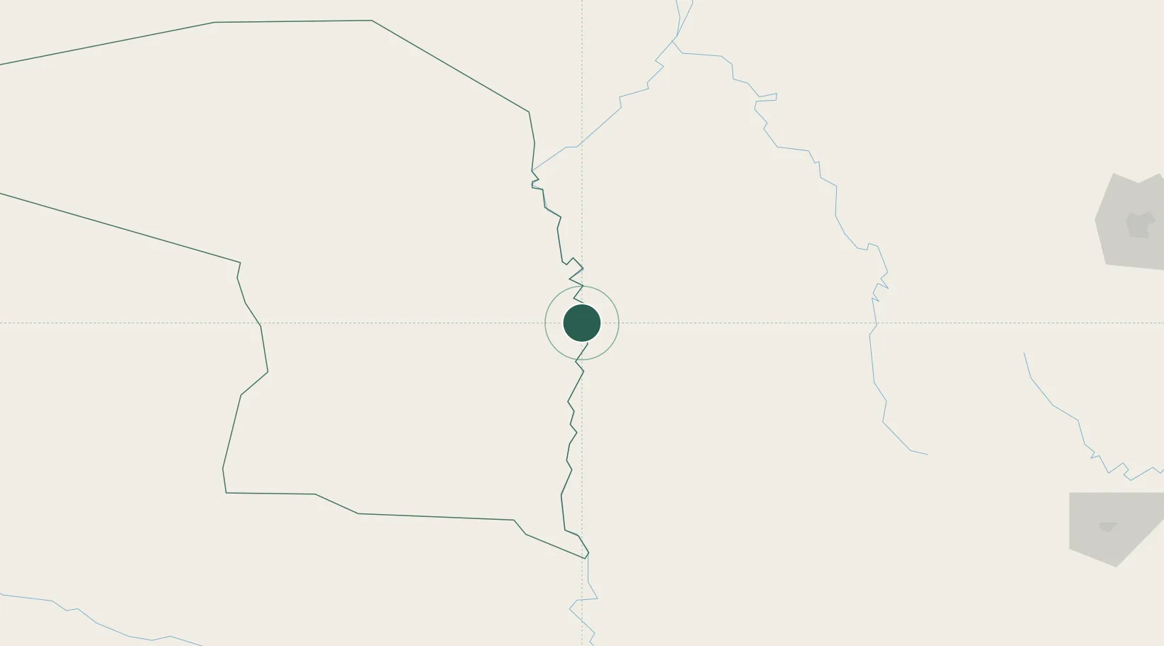
Fuerte Olimpo
-21.0500°, -57.8667°
2,475
Population
2
Transport functions
Transport Functions
Port
Road
Hub Profile
Place type
Regional capital
Region
Alto Paraguay
Population
2,475
Time zone
America/Asuncion
Elevation
84 m
Location
Nearby Logistics Neighbours
Cities
- 1Puerto Guarani28 km
- 2Porto Murtinho72 km
- 3Puerto Busch114 km
- 4Puerto la Victoria137 km
- 5Calera Cue165 km
Ports
- 1Puerto De Asuncion469 km
- 2Paranagua1075 km
- 3Sao Francisco1103 km
- 4Itajai1142 km
- 5Concordia1151 km
Airports
- 1Aeropuerto Nacional Doctor Juan Plate124 km
- 2Bonito Airport148 km
- 3Santa Teresa Airport216 km
- 4Corumbá International Airport228 km
- 5Capitán Av. Salvador Ogaya G. airport231 km
Trade Zones
- 1ZPE DE Corumbá228 km
- 2Central Aguirre Portuaria229 km
- 3Zona Franca Puerto Suárez231 km
- 4ZPE de Cáceres553 km
- 5ZPE de Bataguassú (MS)570 km
DatabookThe Record of Consolidated Knowledge
Paraguay beyond logistics?