UN/LOCODE hub · Paraguay
PYPGU
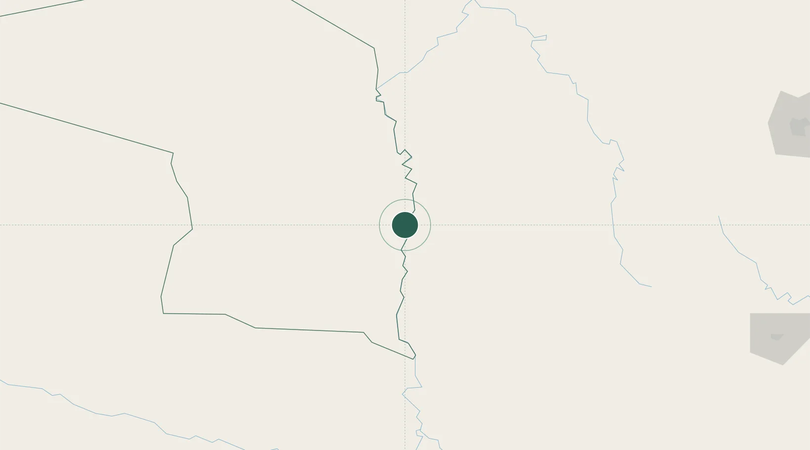
Puerto Guarani
-21.3000°, -57.9167°
700
Population
1
Transport functions
Transport Functions
Port
Hub Profile
Place type
Populated place
Region
Alto Paraguay
Population
700
Time zone
America/Asuncion
Elevation
64 m
Location
Nearby Logistics Neighbours
Cities
- 1Fuerte Olimpo28 km
- 2Porto Murtinho45 km
- 3Puerto la Victoria109 km
- 4Calera Cue138 km
- 5Puerto Busch141 km
Ports
- 1Puerto De Asuncion442 km
- 2Paranagua1067 km
- 3Sao Francisco1093 km
- 4Concordia1123 km
- 5Itajai1130 km
Airports
Trade Zones
- 1ZPE DE Corumbá257 km
- 2Central Aguirre Portuaria257 km
- 3Zona Franca Puerto Suárez259 km
- 4Zona Franca Global570 km
- 5Zona Franca Internacional570 km
DatabookThe Record of Consolidated Knowledge
Paraguay beyond logistics?