Medium airport · Brazil
Campo Grande AirportSBCG
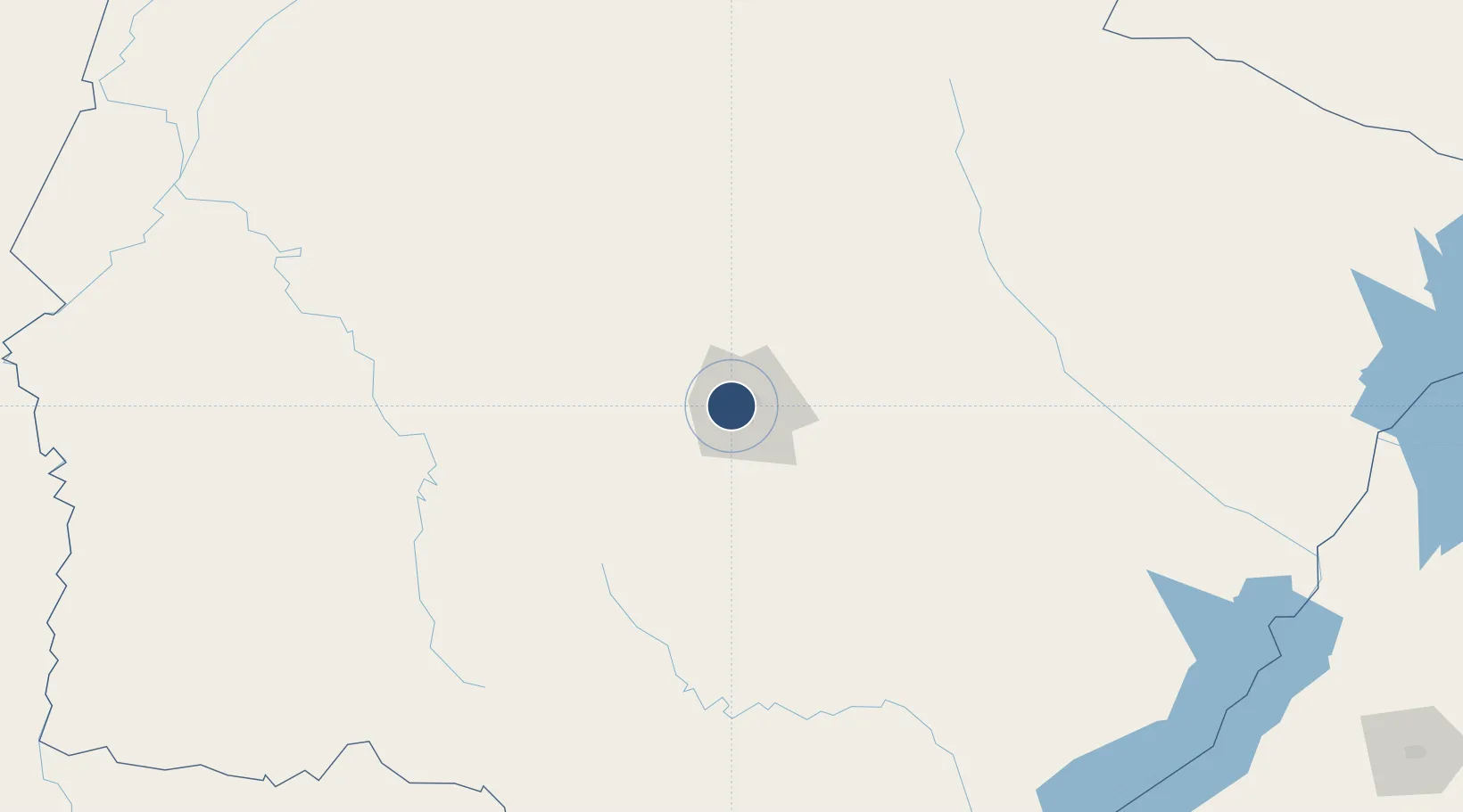
-20.4700°, -54.6740°
8,530 ft
Longest runway
2
Runways
1,833 ft
Elevation
Runway & Layout

Radio Frequencies
TWR
118.1 MHz
GND
121.9 MHz
APP
120.2 MHz
OPS
122.5 MHz
Navaids
CGR VOR-DME Campo Grande 115.70 MHz
CGR NDB Campo Grande 270 kHz
IG NDB Soja 395 kHz
PP NDB Maraca 215 kHz
Runways · 2
| Runway | Dimensions | Surface | True heading | Lit |
|---|---|---|---|---|
| 06/24 | 8,530 × 148ft | Concrete | — | — |
| H06 | 74 × 74ft | Concrete | — | ✓ |
Airport Specifications
IATA code
CGR
ICAO code
SBCG
Airport class
Medium airport
Scheduled service
Yes
Runway surface
Concrete
Served city
Campo Grande
Location
Nearby Logistics Neighbours
Airports
- 1Bonito Airport204 km
- 2Fazenda Mimosa Airport238 km
- 3Fazenda Dom Felipe Airport244 km
- 4Ponta Porã Airport255 km
- 5Aeropuerto Nacional Dr. Augusto Roberto Fuster269 km
Cities
- 1Hohenau211 km
- 2Ponta Porã248 km
- 3Bela Vista263 km
- 4Chapadão do Sul286 km
- 5Presidente Epitácio303 km
Ports
- 1Puerto De Asuncion616 km
- 2Paranagua842 km
- 3Sao Francisco890 km
- 4Itajai944 km
- 5Santos945 km
Trade Zones
- 1ZPE de Bataguassú (MS)271 km
- 2ZPE DE Corumbá353 km
- 3Central Aguirre Portuaria358 km
- 4Zona Franca Puerto Suárez371 km
- 5ZPE de Fernandópolis (SP)459 km
DatabookThe Record of Consolidated Knowledge
Brazil beyond logistics?