UN/LOCODE hub · Brazil
BRCDS
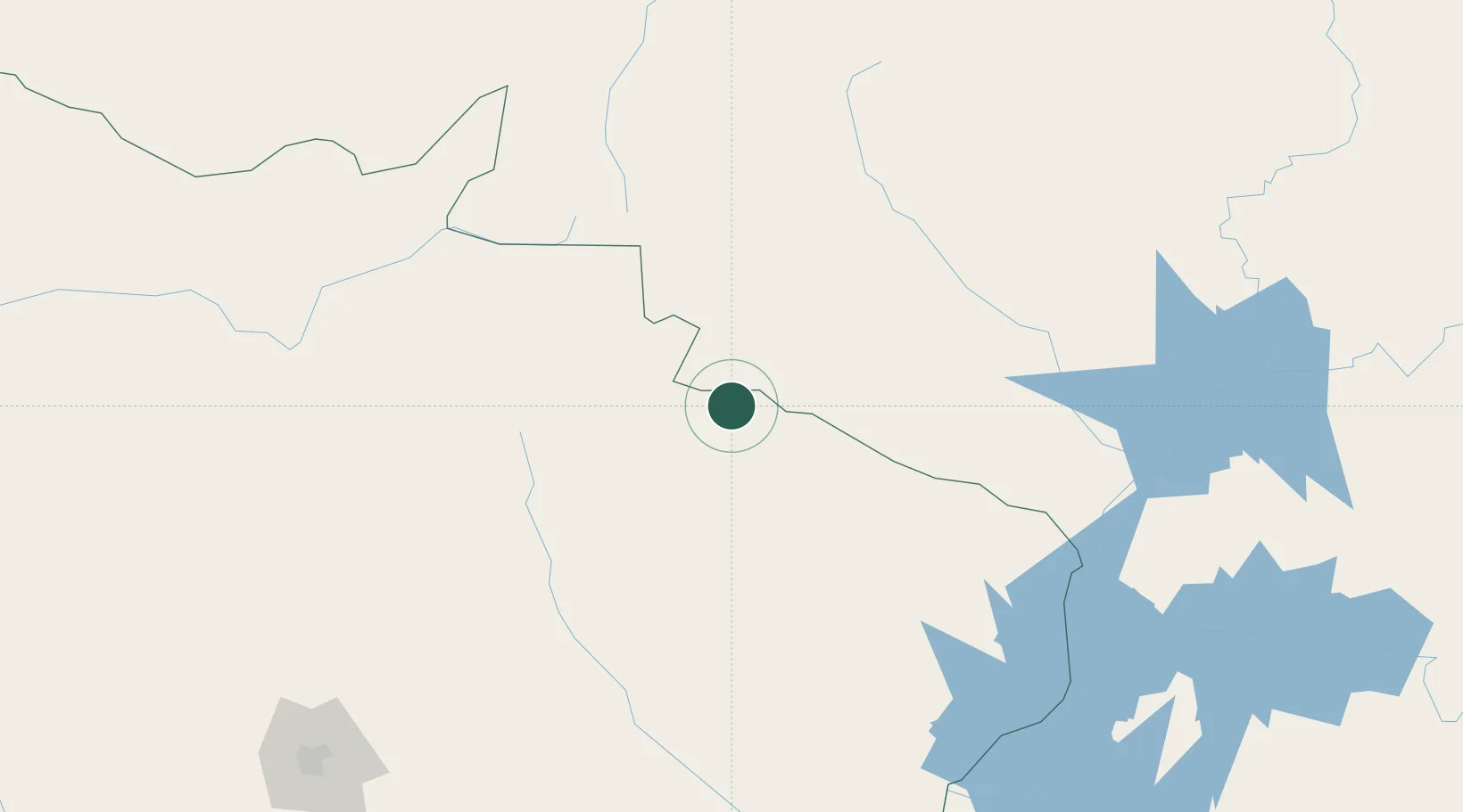
Chapadão do Sul
-18.7833°, -52.6167°
30,993
Population
3
Transport functions
Transport Functions
Rail
Road
Airport
Hub Profile
Place type
Populated place
Region
Mato Grosso do Sul
Population
30,993
Time zone
America/Campo_Grande
Elevation
812 m
Location
Nearby Logistics Neighbours
Cities
- 1Alto Taquari126 km
- 2Alto Araguaia177 km
- 3Aparecida do Taboado216 km
- 4São Simão220 km
- 5Ilha Solteira226 km
Ports
- 1Paranagua858 km
- 2Santos870 km
- 3Puerto De Asuncion890 km
- 4Sao Francisco925 km
- 5Sao Sebastiao933 km
Airports
- 1Plínio Alarcom Airport240 km
- 2Campo Grande Airport286 km
- 3Fazenda Nova Airport311 km
- 4Barra do Garças Airport326 km
- 5Maestro Marinho Franco Airport331 km
Trade Zones
- 1ZPE de Fernandópolis (SP)298 km
- 2ZPE de Bataguassú (MS)324 km
- 3ZPE de Uberaba (MG)497 km
- 4ZPE DE Corumbá532 km
- 5Central Aguirre Portuaria537 km
DatabookThe Record of Consolidated Knowledge
Brazil beyond logistics?