UN/LOCODE hub · Paraguay
PYCDP
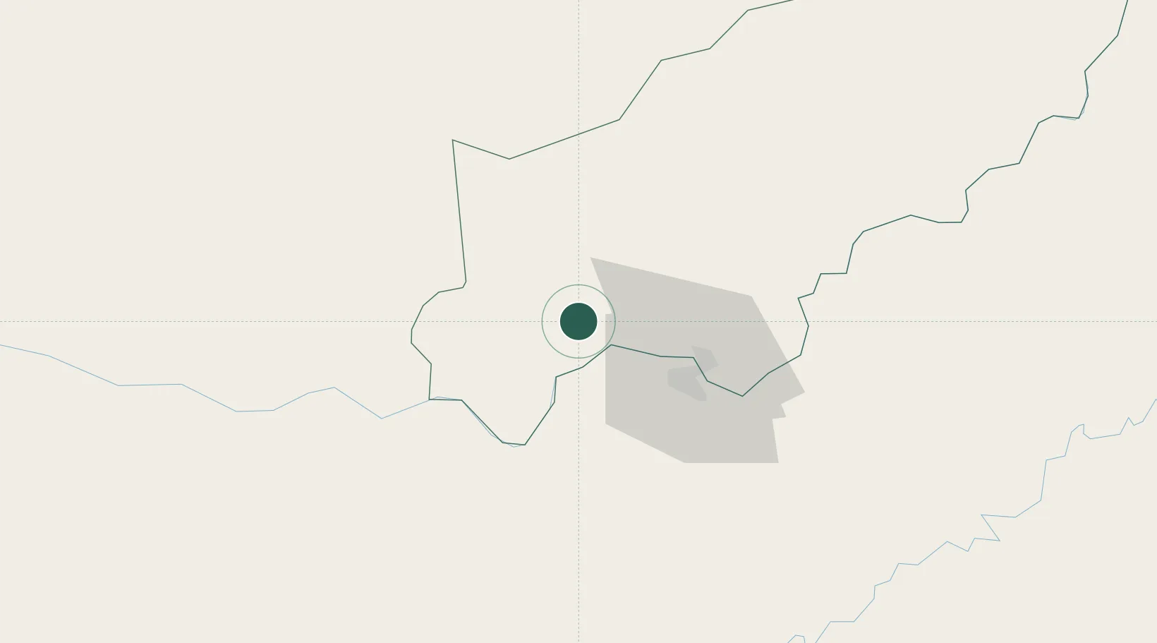
Carmen del Paraná
-27.2333°, -56.2167°
4,196
Population
1
Transport functions
Transport Functions
Multimodal
Hub Profile
Place type
Populated place
Region
Itapúa
Population
4,196
Time zone
America/Asuncion
Elevation
100 m
Location
Nearby Logistics Neighbours
Cities
- 1Posadas27 km
- 2Encarnación33 km
- 3Fram43 km
- 4San Pedro del Paraná45 km
- 5Trinidad45 km
Ports
- 1Puerto De Asuncion263 km
- 2Concordia496 km
- 3Porto Alegre577 km
- 4Colon584 km
- 5Paysandu593 km
Airports
Trade Zones
- 1Zona Franca Global245 km
- 2Zona Franca Puerto Iguazu Free Trade Zone245 km
- 3Zona Franca Internacional245 km
- 4Rivera Free Zone417 km
- 5ZPE de Rio Grande (RS)666 km
DatabookThe Record of Consolidated Knowledge
Paraguay beyond logistics?