Diversified Zone · Philippines

Eastern Pangasinan Agro-Industrial Park Under Development
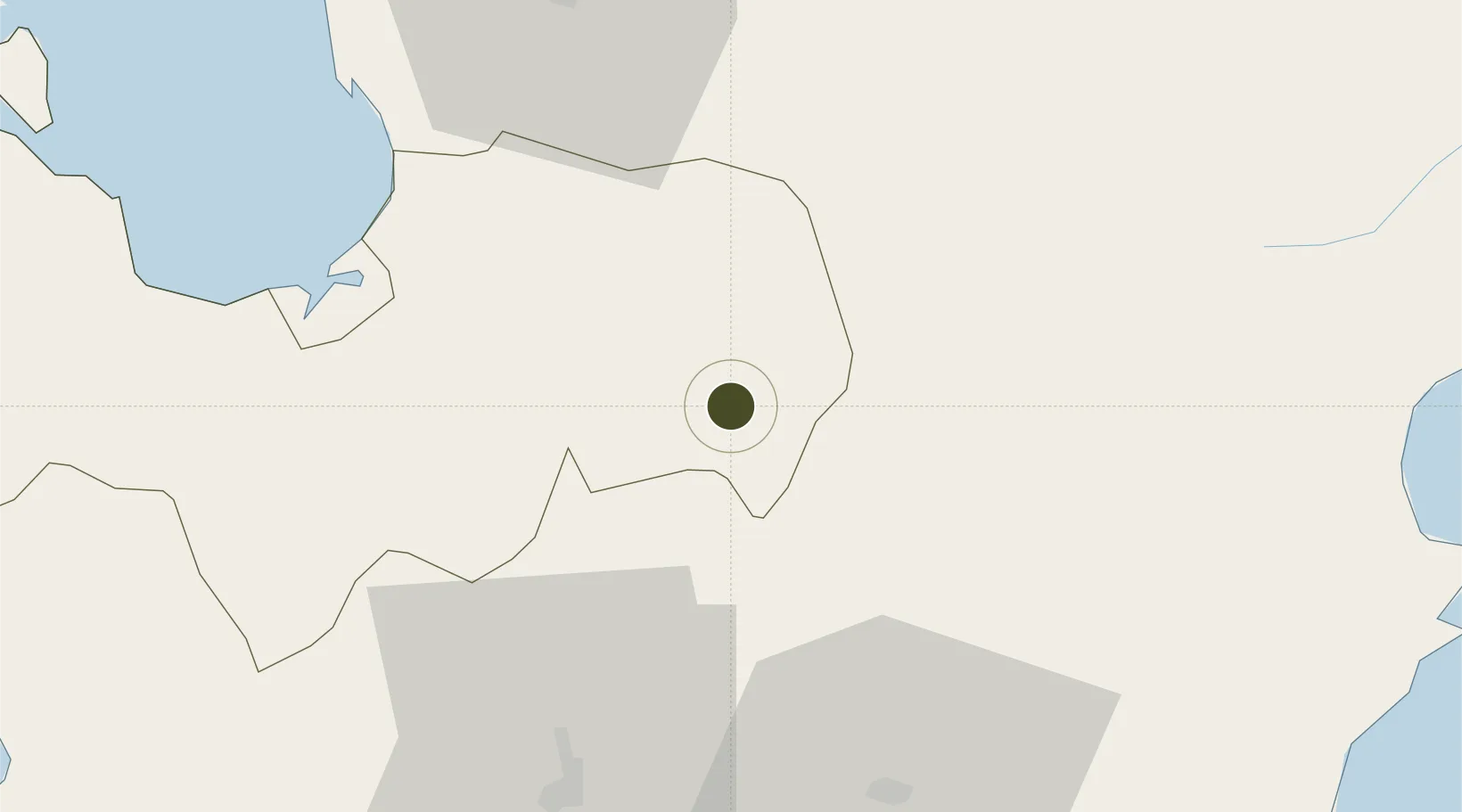
15.9177°, 120.7869°
57 ha
Zone area
92.5 km
Nearest port
53.9 km
Nearest airport

Gateway access

Nearest neighbours — logibook spatial index (haversine) over the source coordinates

Zone profile

Zone type
Diversified Zone
Open Zone Map
Region
Pangasinan
Open Zone Map
Status
Under Development
Open Zone Map
Management
Private
Open Zone Map
Operator
Corfarm Properties Inc.
Open Zone Map
Legal framework
Special Economic Zone Act (Republic Act No. 7916) (as amended by Republic Act No. 8748)
Open Zone Map

Location

Location of ozm-3150
Natural Earth 10m (public domain) · Pangasinan · ozm-3150 · 15.92, 120.79GoogleOSMYandex

Nearby Logistics Neighbours

Ports
  1. 1San Fernando Harbor93 km
  2. 2Masinloc99 km
  3. 3Subic Bay136 km
  4. 4Manila150 km
  5. 5Mariveles168 km
Nearest neighbours — logibook spatial index (haversine) over the source coordinates
Airports
  1. 1Loakan Airport54 km
  2. 2Dr. Juan C. Angara Airport79 km
  3. 3Clark International Airport / Clark Air Base85 km
  4. 4San Fernando Airport91 km
  5. 5Subic Bay International Airport / Naval Air Station Cubi Point137 km
Nearest neighbours — logibook spatial index (haversine) over the source coordinates
Cities
  1. 1Cabanatuan52 km
  2. 2Agoo63 km
  3. 3Makati65 km
  4. 4Bauang83 km
  5. 5Clark Field (Angeles)85 km
Nearest neighbours — logibook spatial index (haversine) over the source coordinates
Trade Zones
  1. 1Sanctuary IT Center24 km
  2. 2CB Mall IT Center24 km
  3. 3Macayug Agro-Industrial Economic Zone43 km
  4. 4ARB Corporate Center51 km
  5. 5Megacenter IT Building52 km
Nearest neighbours — logibook spatial index (haversine) over the source coordinates
DatabookThe Record of Consolidated Knowledge
Philippines beyond logistics?
Browse databook

All Sources

Trade ZonesOpen Zone Map
CC BY
Portsthe NGA World Port Index
Public domain (US gov)
AirportsOurAirports
Public domain
LocationsUN/LOCODE
UN/LOCODE — free
← Philippines trade zones