UN/LOCODE hub · Philippines
PHBUR

Burdeos, Polillo Isl

14.8333°, 121.9667°
2
Transport functions

Transport Functions

Port
Road
UN/LOCODE

Hub Profile

Region
QUE
GeoNames

Location

Location of PHBUR
Natural Earth 10m (public domain) · QUE · PHBUR · 14.83, 121.97GoogleOSMYandex

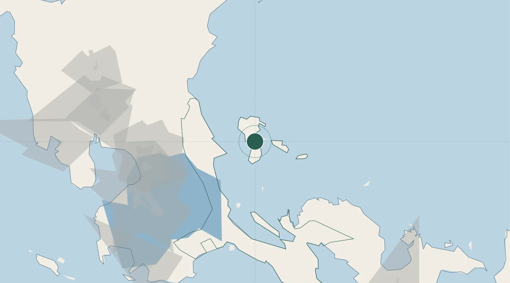
Nearby Logistics Neighbours

Cities
  1. 1Polillo, Polillo Isl15 km
  2. 2Taguig45 km
  3. 3Binan75 km
  4. 4Atimonan/Siain95 km
  5. 5Santa Rosa96 km
Nearest neighbours — logibook spatial index (haversine) over the source coordinates
Ports
  1. 1Jose Panganiban98 km
  2. 2Hondagua102 km
  3. 3Manila111 km
  4. 4Batangas City156 km
  5. 5Mariveles166 km
Nearest neighbours — logibook spatial index (haversine) over the source coordinates
Airports
  1. 1Ninoy Aquino International Airport108 km
  2. 2Dr. Juan C. Angara Airport112 km
  3. 3Danilo Atienza Air Base120 km
  4. 4Daet Airport134 km
  5. 5Clark International Airport / Clark Air Base156 km
Nearest neighbours — logibook spatial index (haversine) over the source coordinates
Trade Zones
  1. 1Alphaland Balesin Island Resort46 km
  2. 2Tanay Rizal I.T. Park82 km
  3. 3Filinvest Technology Park Teresa88 km
  4. 4ATN Industrial Technology City89 km
  5. 5Eastbay Arts, Recreational and Tourism Zone93 km
Nearest neighbours — logibook spatial index (haversine) over the source coordinates
DatabookThe Record of Consolidated Knowledge
Philippines beyond logistics?
Browse databook

All Sources

LocationsUN/LOCODE
UN/LOCODE — free
Portsthe NGA World Port Index
Public domain (US gov)
AirportsOurAirports
Public domain
Trade Zonesthe World Bank SEZ database
CC BY 4.0
Trade ZonesOpen Zone Map
CC BY
← Philippines locations