Medium airport · Taiwan
Taitung AirportRCFN
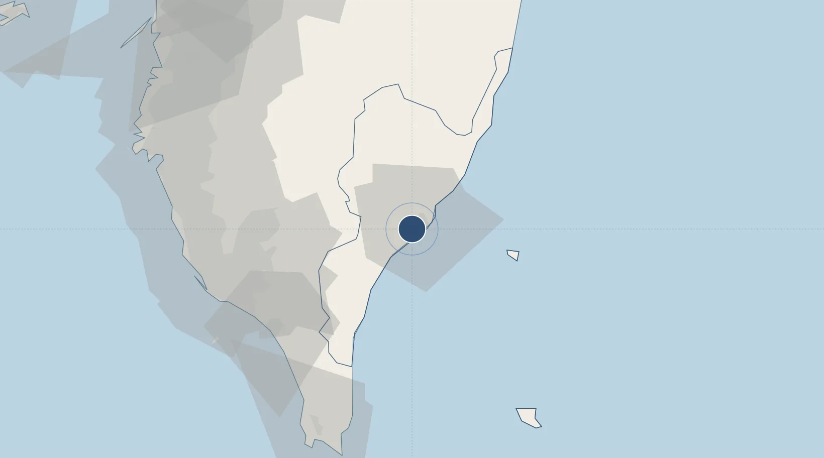
22.7550°, 121.1020°
7,999 ft
Longest runway
1
Runways
143 ft
Elevation
Runway & Layout

Radio Frequencies
ATIS
127 MHz
TWR
118.1 MHz
APP
119.4 MHz
TAITUNG APP
Runways · 1
| Runway | Dimensions | Surface | True heading | Lit |
|---|---|---|---|---|
| 04/22 | 7,999 × 148ft | Asphalt / concrete | 039° | ✓ |
Airport Specifications
IATA code
TTT
ICAO code
RCFN
Airport class
Medium airport
Scheduled service
Yes
Runway surface
Asphalt / concrete
Served city
Taitung City
Location
Nearby Logistics Neighbours
Airports
Cities
- 1Kaohsiung82 km
- 2Yung-K'Ang92 km
- 3Mai-liao106 km
- 4Budai123 km
- 5Nantou134 km
Ports
- 1Kao-Hsiung89 km
- 2Hua-Lien Kang146 km
- 3Mailiao149 km
- 4Tai-Chung Kang182 km
- 5Peng-Hu Kang185 km
Trade Zones
DatabookThe Record of Consolidated Knowledge
Taiwan beyond logistics?