Specialized Zone · Philippines

SM Baguio Cyberzone Building Active
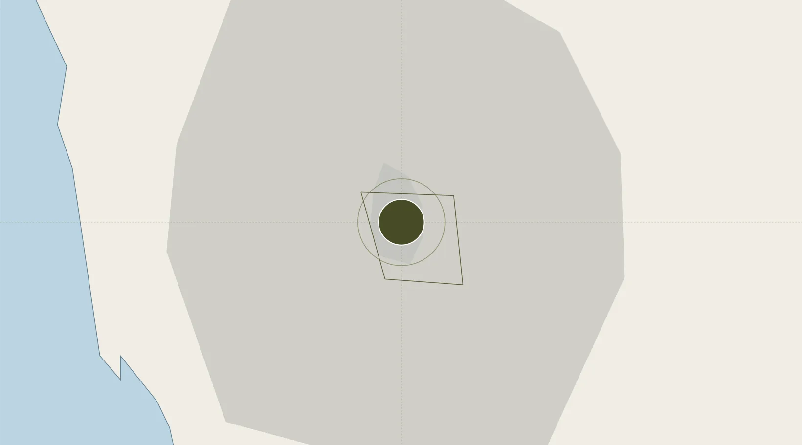
16.4088°, 120.5993°
1 ha
Zone area
38.0 km
Nearest port
4.3 km
Nearest airport

Gateway access

Nearest neighbours — logibook spatial index (haversine) over the source coordinates

Zone profile

Zone type
Specialized Zone
Open Zone Map
Specialization
IT
Open Zone Map
Region
Baguio
Open Zone Map
Status
Active
Open Zone Map
Management
Private
Open Zone Map
Operator
SM Investments Corporation
Open Zone Map
Legal framework
Special Economic Zone Act (Republic Act No. 7916) (as amended by Republic Act No. 8748)
Open Zone Map

Location

Location of ozm-3595
Natural Earth 10m (public domain) · Baguio · ozm-3595 · 16.41, 120.60GoogleOSMYandex

Nearby Logistics Neighbours

Ports
  1. 1San Fernando Harbor38 km
  2. 2Masinloc118 km
  3. 3Subic Bay182 km
  4. 4Manila207 km
  5. 5Mariveles220 km
Nearest neighbours — logibook spatial index (haversine) over the source coordinates
Airports
  1. 1Loakan Airport4 km
  2. 2San Fernando Airport38 km
  3. 3Dr. Juan C. Angara Airport122 km
  4. 4Cauayan Airport136 km
  5. 5Clark International Airport / Clark Air Base136 km
Nearest neighbours — logibook spatial index (haversine) over the source coordinates
Cities
  1. 1Agoo27 km
  2. 2Bauang32 km
  3. 3Pagudpud, Luzon38 km
  4. 4Makati53 km
  5. 5Cabanatuan110 km
Nearest neighbours — logibook spatial index (haversine) over the source coordinates
Trade Zones
  1. 1Abanao Square1 km
  2. 2Neutrinus Information Technology Center1 km
  3. 3Cuesta IT-BPO Center1 km
  4. 4Kelly Special Economic Zone1 km
  5. 5John Hay Special Tourism Ecozone2 km
Nearest neighbours — logibook spatial index (haversine) over the source coordinates
DatabookThe Record of Consolidated Knowledge
Philippines beyond logistics?
Browse databook

All Sources

Trade ZonesOpen Zone Map
CC BY
Portsthe NGA World Port Index
Public domain (US gov)
AirportsOurAirports
Public domain
LocationsUN/LOCODE
UN/LOCODE — free
← Philippines trade zones