Specialized Zone · Philippines

John Hay Special Tourism Ecozone Active
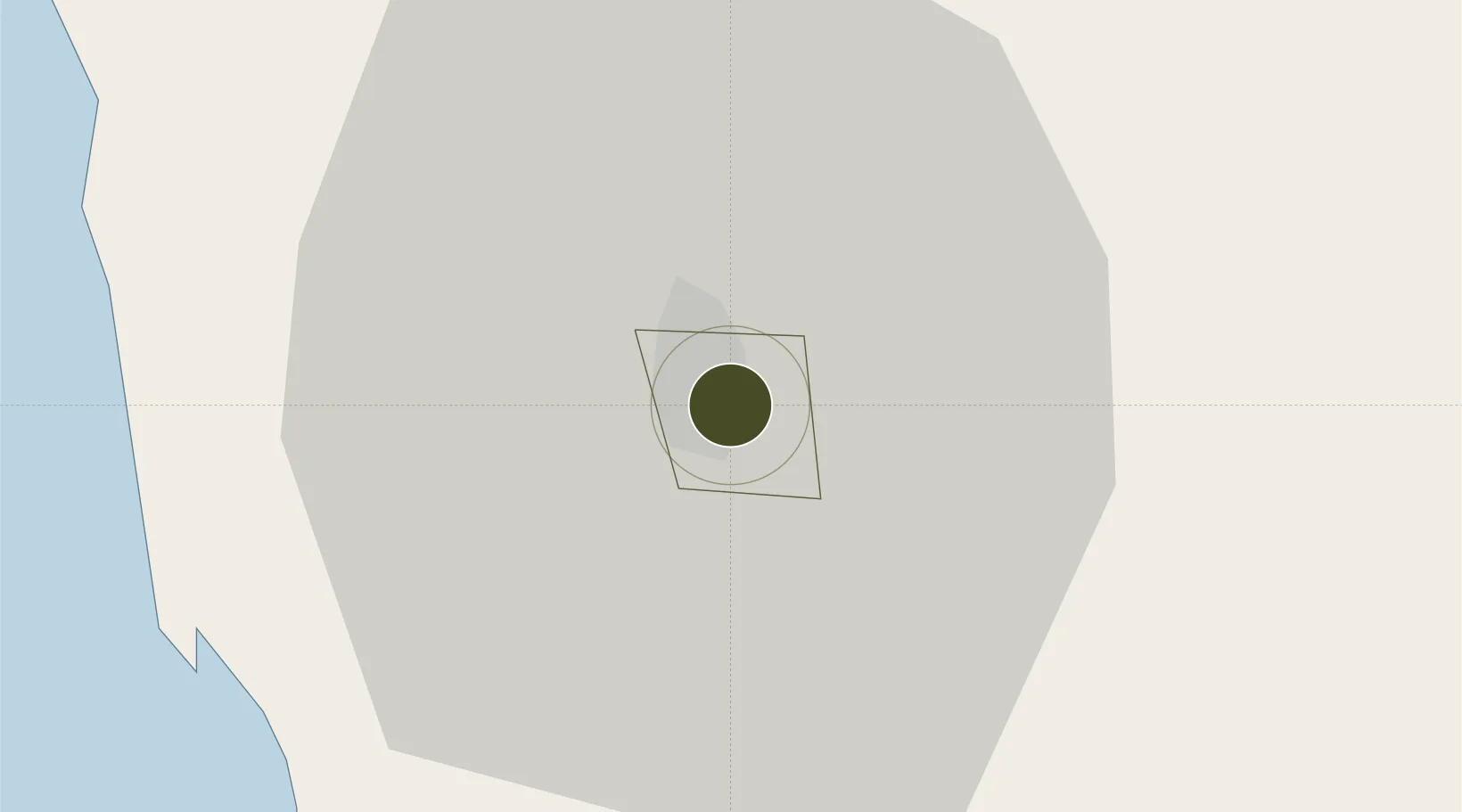
16.3988°, 120.6097°
300 ha
Zone area
39.5 km
Nearest port
2.9 km
Nearest airport

Gateway access

Nearest neighbours — logibook spatial index (haversine) over the source coordinates

Zone profile

Zone type
Specialized Zone
Open Zone Map
Specialization
Tourism
Open Zone Map
Region
Baguio
Open Zone Map
Status
Active
Open Zone Map
Management
Public
Open Zone Map
Operator
John Hay Management Corporation
Open Zone Map
Legal framework
Special Economic Zone Act (Republic Act No. 7916) (as amended by Republic Act No. 8748)
Open Zone Map

Location

Location of ozm-3950
Natural Earth 10m (public domain) · Baguio · ozm-3950 · 16.40, 120.61GoogleOSMYandex

Nearby Logistics Neighbours

Ports
  1. 1San Fernando Harbor40 km
  2. 2Masinloc118 km
  3. 3Subic Bay182 km
  4. 4Manila206 km
  5. 5Mariveles219 km
Nearest neighbours — logibook spatial index (haversine) over the source coordinates
Airports
  1. 1Loakan Airport3 km
  2. 2San Fernando Airport39 km
  3. 3Dr. Juan C. Angara Airport121 km
  4. 4Clark International Airport / Clark Air Base135 km
  5. 5Cauayan Airport135 km
Nearest neighbours — logibook spatial index (haversine) over the source coordinates
Cities
  1. 1Agoo28 km
  2. 2Bauang34 km
  3. 3Pagudpud, Luzon40 km
  4. 4Makati52 km
  5. 5Cabanatuan109 km
Nearest neighbours — logibook spatial index (haversine) over the source coordinates
Trade Zones
  1. 1Camp John Hay Special Economic Zone0 km
  2. 2SM Baguio Cyberzone Building2 km
  3. 3Kelly Special Economic Zone2 km
  4. 4Baguio City Economic Zone2 km
  5. 5Abanao Square2 km
Nearest neighbours — logibook spatial index (haversine) over the source coordinates
DatabookThe Record of Consolidated Knowledge
Philippines beyond logistics?
Browse databook

All Sources

Trade ZonesOpen Zone Map
CC BY
Portsthe NGA World Port Index
Public domain (US gov)
AirportsOurAirports
Public domain
LocationsUN/LOCODE
UN/LOCODE — free
← Philippines trade zones