Medium airport · Japan
Tokunoshima AirportRJKN
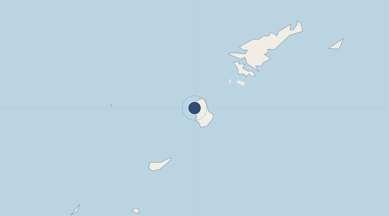
27.8364°, 128.8814°
6,561 ft
Longest runway
1
Runways
17 ft
Elevation
Runway & Layout

Radio Frequencies
A/G
122.7 MHz
REMOTE
Navaids
TKE VOR-DME Tokunoshima 110.45 MHz
Runways · 1
| Runway | Dimensions | Surface | True heading | Lit |
|---|---|---|---|---|
| 01/19 | 6,561 × 150ft | Asphalt | 006° | ✓ |
Airport Specifications
IATA code
TKN
ICAO code
RJKN
Airport class
Medium airport
Scheduled service
Yes
Runway surface
Asphalt
Served city
Amagi
Location
Nearby Logistics Neighbours
Airports
- 1Okinoerabu Airport48 km
- 2Yoron Airport100 km
- 3Amami Airport105 km
- 4Kikai Airport116 km
- 5Iejima Airport164 km
Cities
- 1Furusato, Kagoshima58 km
- 2Kikaishima121 km
- 3Nago166 km
- 4Chimu Wan188 km
- 5Ishikawa190 km
Ports
- 1Kin Wan185 km
- 2Nakagusuku199 km
- 3Nishihara210 km
- 4Naha Ko216 km
- 5Kiire426 km
DatabookThe Record of Consolidated Knowledge
Japan beyond logistics?