Medium airport · Japan
Okinoerabu AirportRJKB
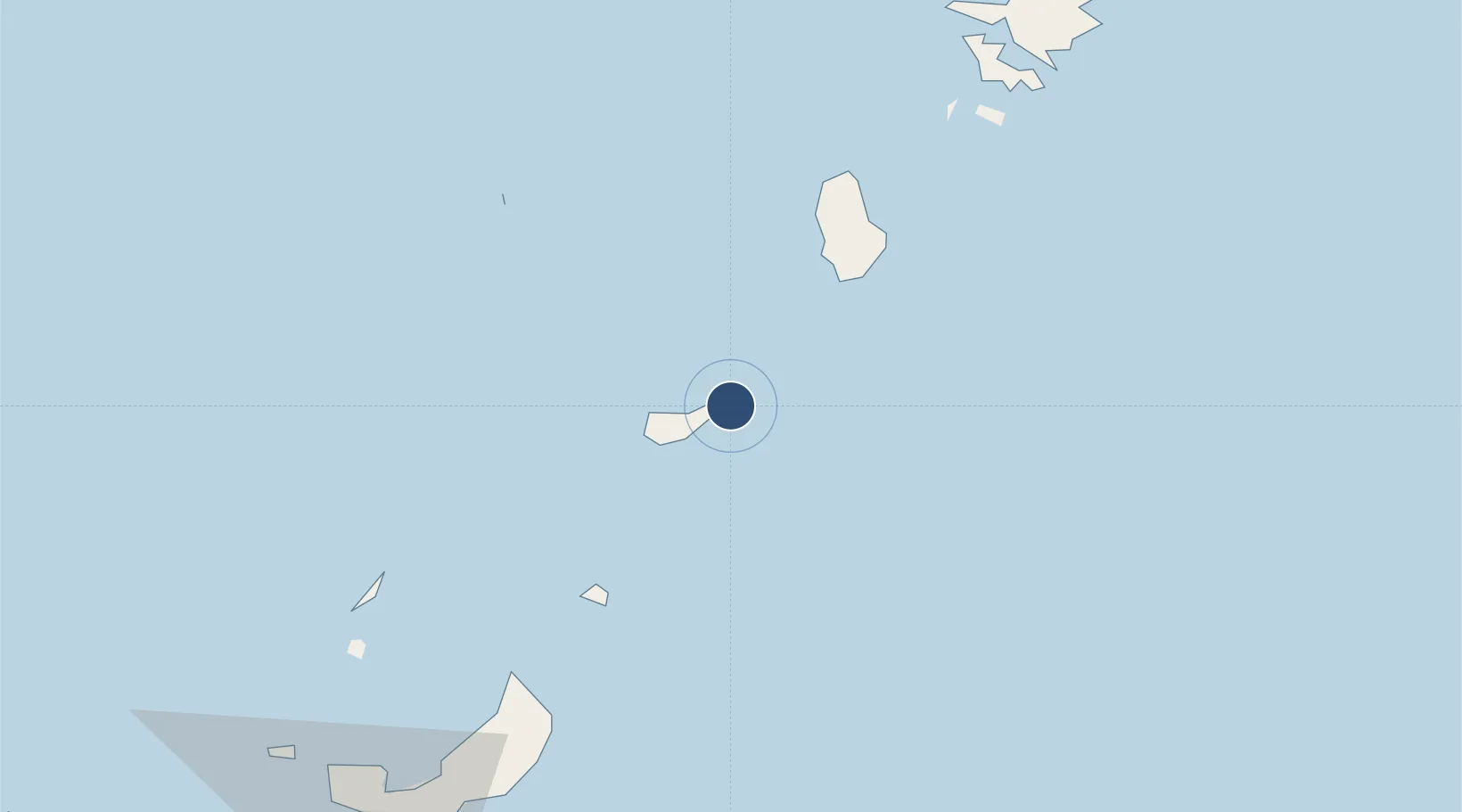
27.4316°, 128.7056°
4,430 ft
Longest runway
1
Runways
101 ft
Elevation
Runway & Layout

Radio Frequencies
A/G
118.05 MHz
REMOTE
ACC
132.3 MHz
NAHA CON
Navaids
ON NDB Erabu 398 kHz
ONC VORTAC Erabu 113.10 MHz
Runways · 1
| Runway | Dimensions | Surface | True heading | Lit |
|---|---|---|---|---|
| 04/22 | 4,430 × 147ft | Asphalt | 034° | ✓ |
Airport Specifications
IATA code
OKE
ICAO code
RJKB
Airport class
Medium airport
Scheduled service
Yes
Runway surface
Asphalt
Served city
Wadomari
Location
Nearby Logistics Neighbours
Airports
- 1Tokunoshima Airport48 km
- 2Yoron Airport53 km
- 3Iejima Airport120 km
- 4Amami Airport149 km
- 5Kadena Air Base152 km
Cities
- 1Furusato, Kagoshima10 km
- 2Nago119 km
- 3Chimu Wan140 km
- 4Ishikawa143 km
- 5Uruma146 km
Ports
- 1Kin Wan138 km
- 2Nakagusuku151 km
- 3Nishihara162 km
- 4Naha Ko169 km
- 5Hirara Ko450 km
DatabookThe Record of Consolidated Knowledge
Japan beyond logistics?