Specialized Zone · Japan

Okinawa Prefecture Special Zone for Life Science Industry Active
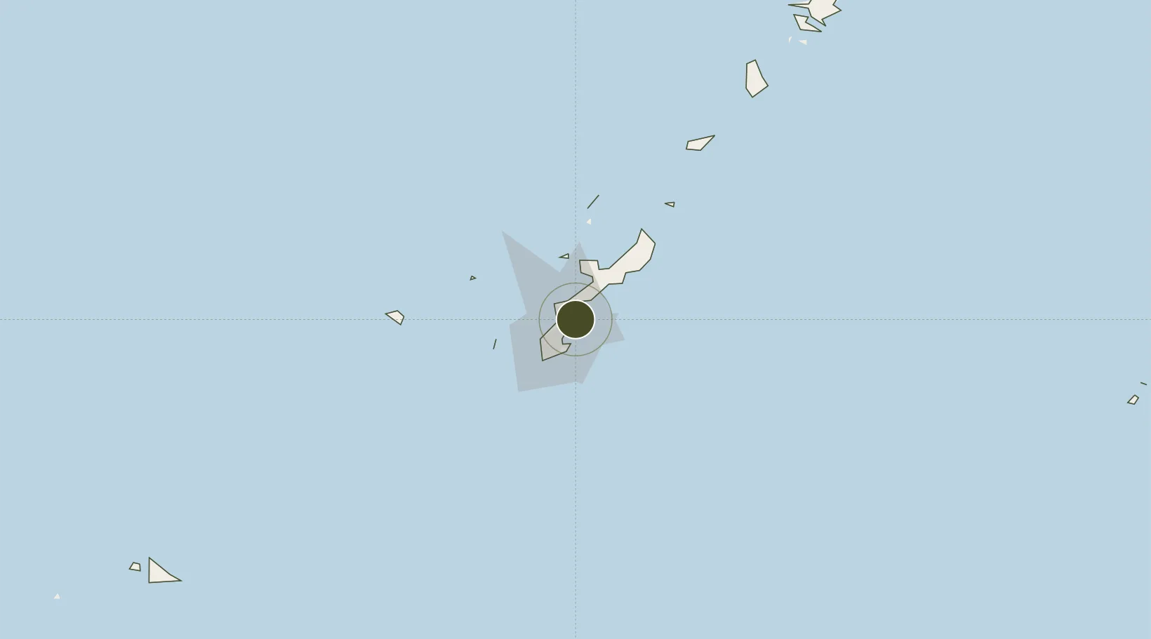
26.3349°, 127.8534°
375 ha
Zone area
9.9 km
Nearest port
8.6 km
Nearest airport

Gateway access

Nearest neighbours — logibook spatial index (haversine) over the source coordinates

Zone profile

Zone type
Specialized Zone
Open Zone Map
Specialization
Biotech
Open Zone Map
Region
Okinawa
Open Zone Map
Status
Active
Open Zone Map
Management
Public
Open Zone Map
Operator
Commerce, Industry and Labor Department of Okinawa
Open Zone Map
Legal framework
National Strategic Special Zones Law
Open Zone Map

Location

Location of ozm-2595
Natural Earth 10m (public domain) · Okinawa · ozm-2595 · 26.33, 127.85GoogleOSMYandex

Nearby Logistics Neighbours

Ports
  1. 1Nakagusuku10 km
  2. 2Kin Wan10 km
  3. 3Nishihara14 km
  4. 4Naha Ko22 km
  5. 5Hirara Ko309 km
Nearest neighbours — logibook spatial index (haversine) over the source coordinates
Airports
  1. 1Kadena Air Base9 km
  2. 2Futenma Marine Corps Air Station12 km
  3. 3Naha International Airport27 km
  4. 4Iejima Airport44 km
  5. 5Aguni Airport67 km
Nearest neighbours — logibook spatial index (haversine) over the source coordinates
Cities
  1. 1Gushikawa2 km
  2. 2Uruma4 km
  3. 3Chimu Wan8 km
  4. 4Chatan10 km
  5. 5Ishikawa10 km
Nearest neighbours — logibook spatial index (haversine) over the source coordinates
Trade Zones
  1. 1Port Of Keelung Free Trade Zone626 km
  2. 2Port Of Suao Free Trade Zone631 km
  3. 3Port Of Taipei Free Trade Zone662 km
  4. 4Taoyuan International Airport Free Trade Zone678 km
  5. 5Zhejiang Zhoushan Islands New Area699 km
Nearest neighbours — logibook spatial index (haversine) over the source coordinates
DatabookThe Record of Consolidated Knowledge
Japan beyond logistics?
Browse databook

All Sources

Trade ZonesOpen Zone Map
CC BY
Portsthe NGA World Port Index
Public domain (US gov)
AirportsOurAirports
Public domain
LocationsUN/LOCODE
UN/LOCODE — free
← Japan trade zones