Medium airport · Japan
Yoron AirportRORY
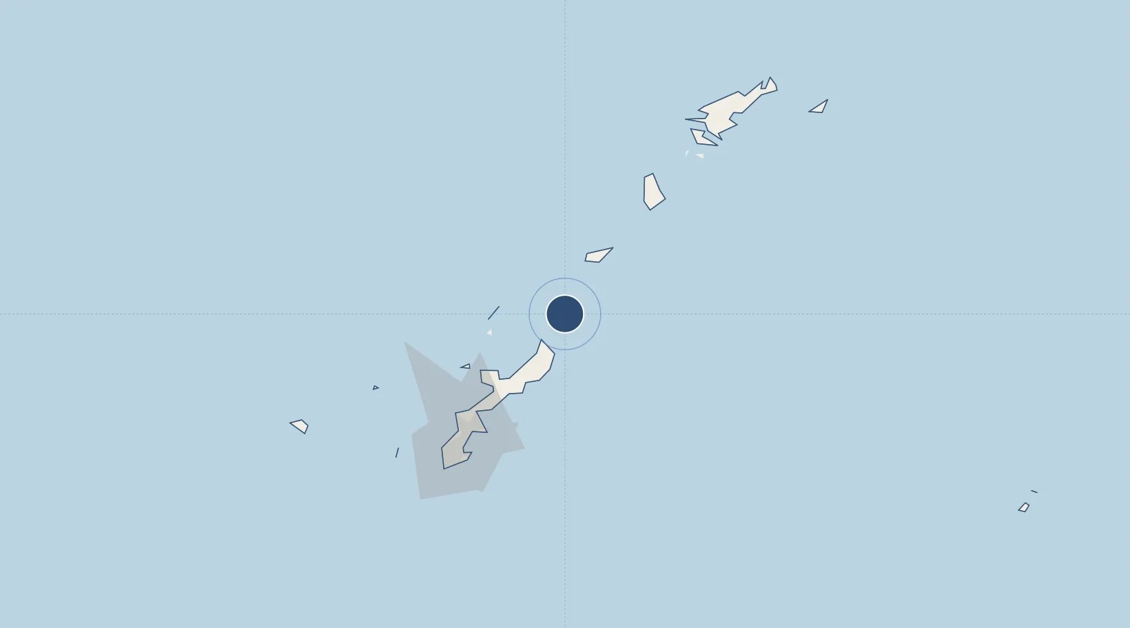
27.0438°, 128.4016°
4,340 ft
Longest runway
1
Runways
52 ft
Elevation
Runway & Layout

Radio Frequencies
A/G
118.3 MHz
REMOTE
Navaids
YRE VOR-DME Yoron 112.25 MHz
Runways · 1
| Runway | Dimensions | Surface | True heading | Lit |
|---|---|---|---|---|
| 14/32 | 4,340 × 100ft | Asphalt | 138° | ✓ |
Airport Specifications
IATA code
RNJ
ICAO code
RORY
Airport class
Medium airport
Scheduled service
Yes
Runway surface
Asphalt
Served city
Yoron
Location
Nearby Logistics Neighbours
Airports
- 1Okinoerabu Airport53 km
- 2Iejima Airport71 km
- 3Kadena Air Base99 km
- 4Tokunoshima Airport100 km
- 5Futenma Marine Corps Air Station107 km
Cities
- 1Furusato, Kagoshima43 km
- 2Nago67 km
- 3Chimu Wan88 km
- 4Ishikawa91 km
- 5Uruma93 km
Ports
- 1Kin Wan86 km
- 2Nakagusuku99 km
- 3Nishihara110 km
- 4Naha Ko116 km
- 5Hirara Ko399 km
DatabookThe Record of Consolidated Knowledge
Japan beyond logistics?