Seaport · Japan
Naha KoJPNAH
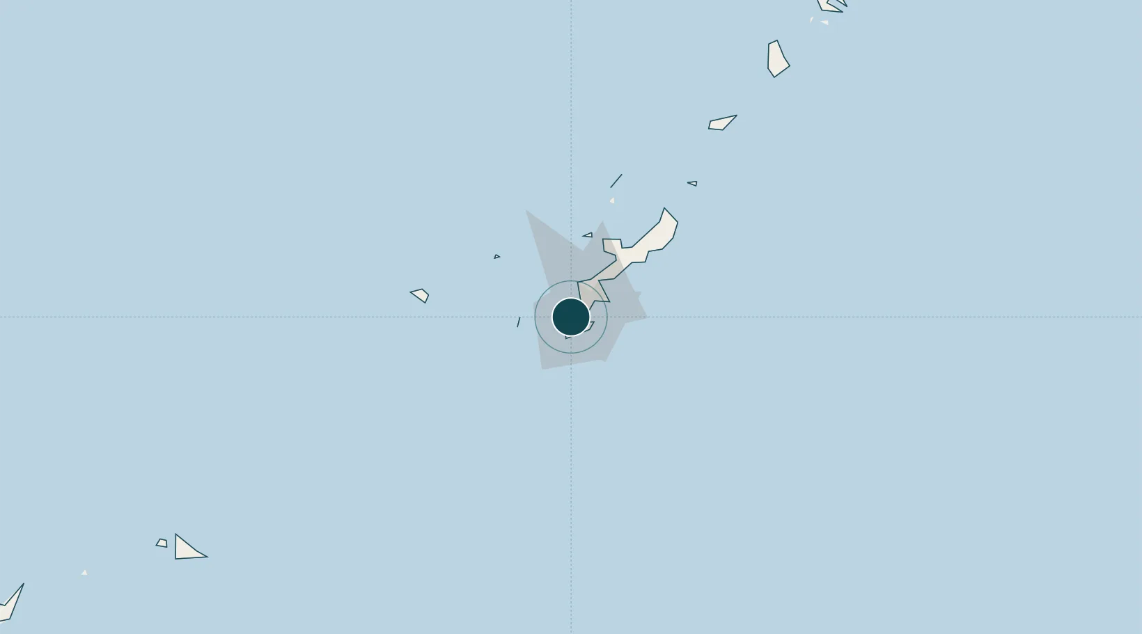
26.2167°, 127.6833°
12.5 m
Channel depth
1
Container terminals
63.4
Port liner connectivity
Channel & Berth Profile
Pilotage, Tugs & Services
Pilotage compulsoryYES
Pilotage availableYES
Pilotage advisableYES
Tug assistanceYES
Salvage tugsNO
Potable waterYES
MedicalYES
Facilities & Capabilities
Container—
Ro-Ro—
Liquid bulk—
Dry bulk—
Oil terminal—
Break bulk—
Dry dock—
RepairsNO
BunkeringYES
Rail link—
Dangerous cargo—
ISPS security—
Harbour Specifications
Harbour size
Small
Harbour type
Coastal (Breakwater)
Shelter
Good
Water body
East China Sea; North Pacific Ocean
Tidal range
2 m
Pilotage
Yes
Liner Connectivity
63.4
PLSCI
Port Liner Shipping Connectivity Index for Naha Ko, as published by UNCTAD for the latest available quarter. Higher values indicate stronger scheduled liner-shipping integration.
Shown relative to the highest per-port PLSCI in the dataset (1,657.9).
Location
Container Terminals · 1
NAHA INTERNATIONAL CONTAINER TERMINAL
SFC NAHA INTERNATIONAL CONTAINER TERMINAL, INC. (NICTI)
Nearby Logistics Neighbours
Ports
- 1Nishihara12 km
- 2Nakagusuku24 km
- 3Kin Wan31 km
- 4Hirara Ko288 km
- 5Ishigaki411 km
Cities
- 1Urazoe, Okinawa4 km
- 2Tomigusuku, Okinawa4 km
- 3Urasoe5 km
- 4Chatan12 km
- 5Gushikawa24 km
Airports
- 1Naha International Airport5 km
- 2Futenma Marine Corps Air Station10 km
- 3Kadena Air Base17 km
- 4Iejima Airport57 km
- 5Aguni Airport61 km
DatabookThe Record of Consolidated Knowledge
Japan beyond logistics?