Transport Functions
Port
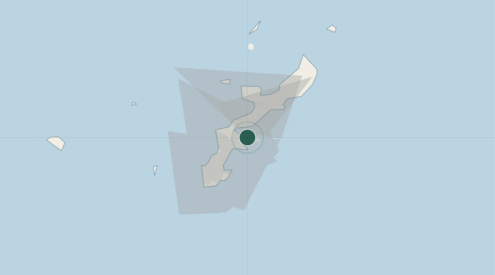
Location
Nearby Logistics Neighbours
Ports
- 1Kin Wan4 km
- 2Nakagusuku13 km
- 3Nishihara22 km
- 4Naha Ko30 km
- 5Hirara Ko317 km
Airports
- 1Kadena Air Base15 km
- 2Futenma Marine Corps Air Station20 km
- 3Naha International Airport35 km
- 4Iejima Airport40 km
- 5Aguni Airport71 km
DatabookThe Record of Consolidated Knowledge
Japan beyond logistics?