UN/LOCODE hub · Japan
JPNOA

Nago

26.5833°, 127.9667°
63,554
Population
1
Transport functions

Transport Functions

Port
UN/LOCODE

Hub Profile

Place type
Provincial seat
GeoNames
Region
Okinawa
GeoNames
Population
63,554
GeoNames
Time zone
Asia/Tokyo
GeoNames
Elevation
32 m
GeoNames

Location

Location of JPNOA
Natural Earth 10m (public domain) · Okinawa · JPNOA · 26.58, 127.97GoogleOSMYandex

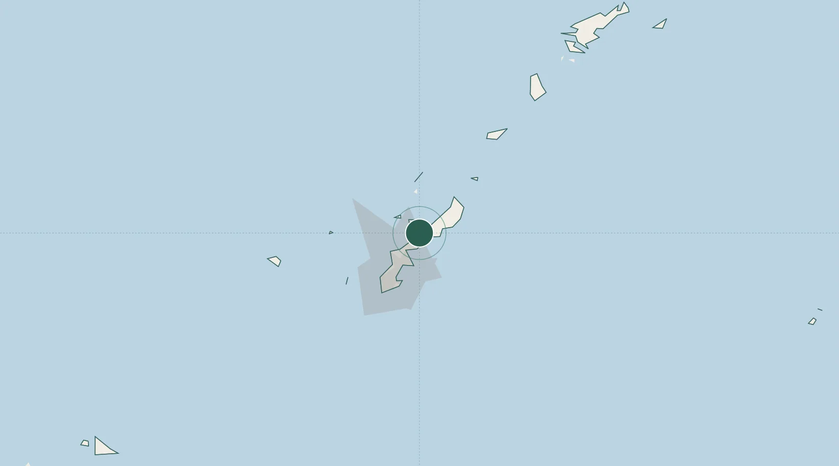
Nearby Logistics Neighbours

Cities
  1. 1Chimu Wan23 km
  2. 2Ishikawa24 km
  3. 3Uruma27 km
  4. 4Gushikawa28 km
  5. 5Chatan37 km
Nearest neighbours — logibook spatial index (haversine) over the source coordinates
Ports
  1. 1Kin Wan20 km
  2. 2Nakagusuku36 km
  3. 3Nishihara44 km
  4. 4Naha Ko50 km
  5. 5Hirara Ko334 km
Nearest neighbours — logibook spatial index (haversine) over the source coordinates
Airports
  1. 1Iejima Airport24 km
  2. 2Kadena Air Base32 km
  3. 3Futenma Marine Corps Air Station40 km
  4. 4Naha International Airport54 km
  5. 5Yoron Airport67 km
Nearest neighbours — logibook spatial index (haversine) over the source coordinates
Trade Zones
  1. 1Okinawa Prefecture Special Zone for Life Science Industry30 km
  2. 2Port Of Keelung Free Trade Zone642 km
  3. 3Port Of Suao Free Trade Zone650 km
  4. 4Port Of Taipei Free Trade Zone678 km
  5. 5Tsubaki Goto Islands Revitalization Special Zone685 km
Nearest neighbours — logibook spatial index (haversine) over the source coordinates
DatabookThe Record of Consolidated Knowledge
Japan beyond logistics?
Browse databook

All Sources

LocationsUN/LOCODE
UN/LOCODE — free
LocationsGeoNames
CC BY 4.0
Portsthe NGA World Port Index
Public domain (US gov)
AirportsOurAirports
Public domain
Trade Zonesthe World Bank SEZ database
CC BY 4.0
Trade ZonesOpen Zone Map
CC BY
← Japan locations