UN/LOCODE hub · Japan
JPFST

Furusato, Kagoshima

27.3667°, 128.6333°
2
Transport functions

Transport Functions

Port
Road
UN/LOCODE

Hub Profile

Region
46
GeoNames

Location

Location of JPFST
Natural Earth 10m (public domain) · 46 · JPFST · 27.37, 128.63GoogleOSMYandex

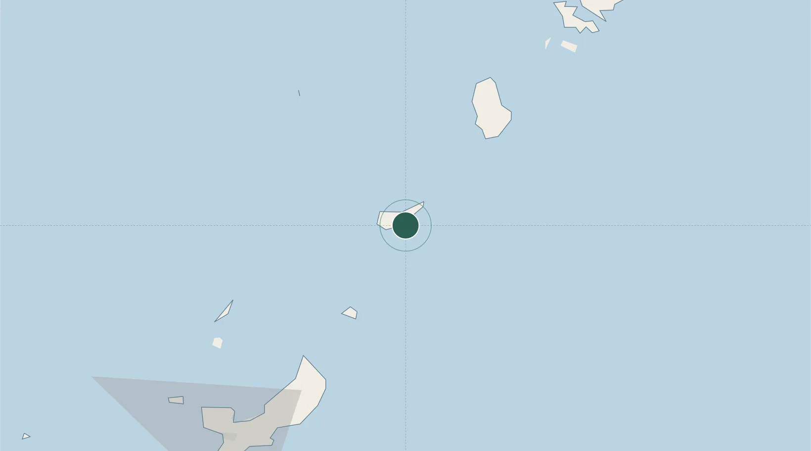
Nearby Logistics Neighbours

Cities
  1. 1Nago109 km
  2. 2Chimu Wan130 km
  3. 3Ishikawa133 km
  4. 4Uruma136 km
  5. 5Gushikawa136 km
Nearest neighbours — logibook spatial index (haversine) over the source coordinates
Ports
  1. 1Kin Wan128 km
  2. 2Nakagusuku142 km
  3. 3Nishihara152 km
  4. 4Naha Ko159 km
  5. 5Hirara Ko440 km
Nearest neighbours — logibook spatial index (haversine) over the source coordinates
Airports
  1. 1Okinoerabu Airport10 km
  2. 2Yoron Airport43 km
  3. 3Tokunoshima Airport58 km
  4. 4Iejima Airport110 km
  5. 5Kadena Air Base142 km
Nearest neighbours — logibook spatial index (haversine) over the source coordinates
DatabookThe Record of Consolidated Knowledge
Japan beyond logistics?
Browse databook

All Sources

LocationsUN/LOCODE
UN/LOCODE — free
Portsthe NGA World Port Index
Public domain (US gov)
AirportsOurAirports
Public domain
Trade Zonesthe World Bank SEZ database
CC BY 4.0
Trade ZonesOpen Zone Map
CC BY
← Japan locations