Medium airport · Japan
Iejima AirportRORE
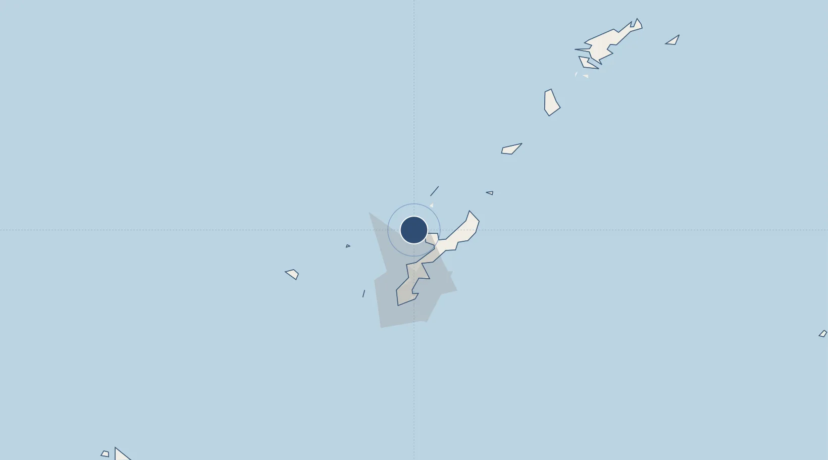
26.7225°, 127.7868°
4,920 ft
Longest runway
1
Runways
246 ft
Elevation
Runway & Layout

Runways · 1
| Runway | Dimensions | Surface | True heading | Lit |
|---|---|---|---|---|
| 04/22 | 4,920 × 150ft | Asphalt | 039° | — |
Airport Specifications
IATA code
IEJ
ICAO code
RORE
Airport class
Medium airport
Scheduled service
No
Runway surface
Asphalt
Served city
Ie
Location
Nearby Logistics Neighbours
Airports
- 1Kadena Air Base41 km
- 2Futenma Marine Corps Air Station50 km
- 3Aguni Airport56 km
- 4Naha International Airport61 km
- 5Yoron Airport71 km
Ports
- 1Kin Wan36 km
- 2Nakagusuku52 km
- 3Nishihara56 km
- 4Naha Ko57 km
- 5Hirara Ko330 km
Trade Zones
DatabookThe Record of Consolidated Knowledge
Japan beyond logistics?