UN/LOCODE hub · Japan
JPKKX

Kikaishima

28.3167°, 129.9833°
2
Transport functions

Transport Functions

Port
Airport
UN/LOCODE

Hub Profile

Region
46
GeoNames

Location

Location of JPKKX
Natural Earth 10m (public domain) · 46 · JPKKX · 28.32, 129.98GoogleOSMYandex

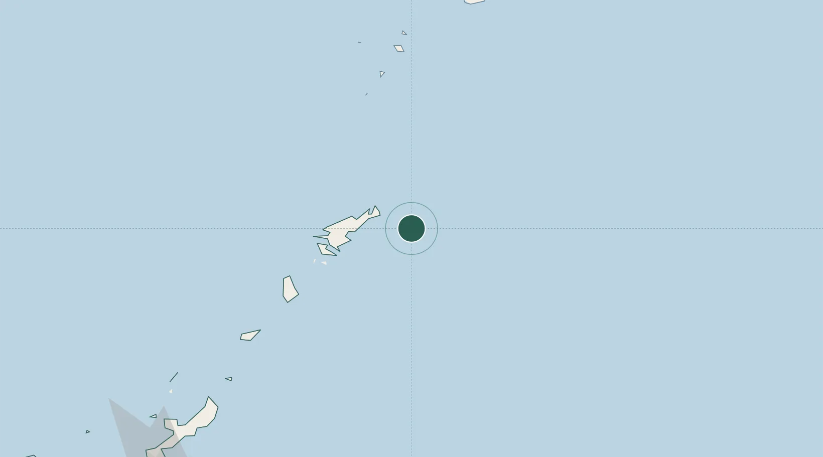
Nearby Logistics Neighbours

Cities
  1. 1Furusato, Kagoshima170 km
  2. 2Nago277 km
  3. 3Chimu Wan296 km
  4. 4Ishikawa301 km
  5. 5Uruma302 km
Nearest neighbours — logibook spatial index (haversine) over the source coordinates
Ports
  1. 1Kin Wan295 km
  2. 2Nakagusuku306 km
  3. 3Nishihara318 km
  4. 4Naha Ko326 km
  5. 5Kiire345 km
Nearest neighbours — logibook spatial index (haversine) over the source coordinates
Airports
  1. 1Kikai Airport5 km
  2. 2Amami Airport29 km
  3. 3Tokunoshima Airport121 km
  4. 4Okinoerabu Airport160 km
  5. 5Yoron Airport210 km
Nearest neighbours — logibook spatial index (haversine) over the source coordinates
DatabookThe Record of Consolidated Knowledge
Japan beyond logistics?
Browse databook

All Sources

LocationsUN/LOCODE
UN/LOCODE — free
Portsthe NGA World Port Index
Public domain (US gov)
AirportsOurAirports
Public domain
Trade Zonesthe World Bank SEZ database
CC BY 4.0
Trade ZonesOpen Zone Map
CC BY
← Japan locations