Medium airport · Japan
Kikai AirportRJKI
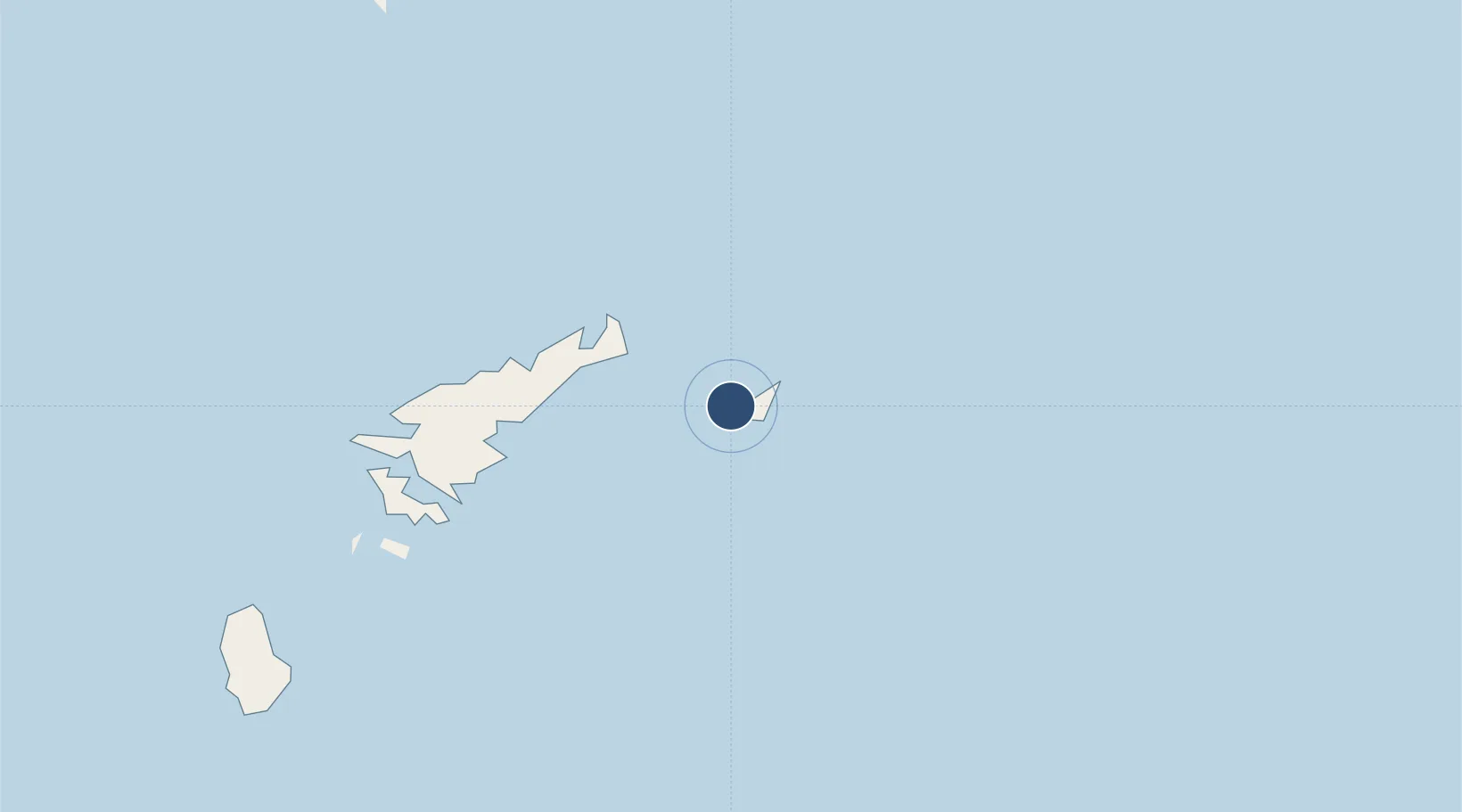
28.3213°, 129.9280°
4,307 ft
Longest runway
1
Runways
21 ft
Elevation
Runway & Layout

Radio Frequencies
RDO
118 MHz
REMOTE
Navaids
KI NDB Kikai 382 kHz
Runways · 1
| Runway | Dimensions | Surface | True heading | Lit |
|---|---|---|---|---|
| 07/25 | 4,307 × 98ft | Asphalt | 066° | ✓ |
Airport Specifications
IATA code
KKX
ICAO code
RJKI
Airport class
Medium airport
Scheduled service
Yes
Runway surface
Asphalt
Served city
Kikai
Location
Nearby Logistics Neighbours
Airports
- 1Amami Airport24 km
- 2Tokunoshima Airport116 km
- 3Okinoerabu Airport156 km
- 4Yoron Airport207 km
- 5Yakushima Airport240 km
Cities
- 1Kikaishima5 km
- 2Furusato, Kagoshima166 km
- 3Nago274 km
- 4Chimu Wan293 km
- 5Ishikawa297 km
Ports
- 1Kin Wan292 km
- 2Nakagusuku303 km
- 3Nishihara315 km
- 4Naha Ko323 km
- 5Kiire346 km
DatabookThe Record of Consolidated Knowledge
Japan beyond logistics?