Small airport · United States
Chevak AirportPAVA
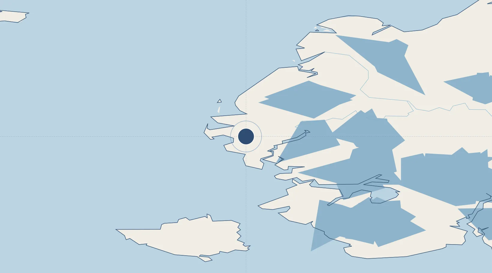
61.5409°, -165.6005°
3,220 ft
Longest runway
1
Runways
75 ft
Elevation
Runway & Layout

Runways · 1
| Runway | Dimensions | Surface | True heading | Lit |
|---|---|---|---|---|
| 02/20 | 3,220 × 75ft | GRVL-G | 033° | — |
Airport Specifications
IATA code
VAK
ICAO code
PAVA
Airport class
Small airport
Scheduled service
Yes
Runway surface
GRVL-G
Served city
Chevak
Location
Nearby Logistics Neighbours
Airports
- 1Hooper Bay Airport29 km
- 2Scammon Bay Airport34 km
- 3Cape Romanzof LRRS Airport35 km
- 4Newtok Seaplane Base85 km
- 5Mertarvik Airport100 km
Cities
- 1Sledge Island329 km
- 2Provideniya, Bukhta501 km
- 3Lavrentiya523 km
- 4Uelen554 km
- 5Lenard Harbour738 km
Ports
- 1Kotlik197 km
- 2Bethel223 km
- 3St. Michael283 km
- 4Nome329 km
- 5Solomon340 km
Trade Zones
- 1FTZ No. 232 Kodiak809 km
- 2FTZ No. 160 Anchorage835 km
- 3FTZ No. 195 Fairbanks965 km
- 4FTZ No. 108 Valdez1024 km
- 5PrInce George Logistics Park2626 km
DatabookThe Record of Consolidated Knowledge
United States beyond logistics?