Small airport · United States
Hooper Bay AirportPAHP
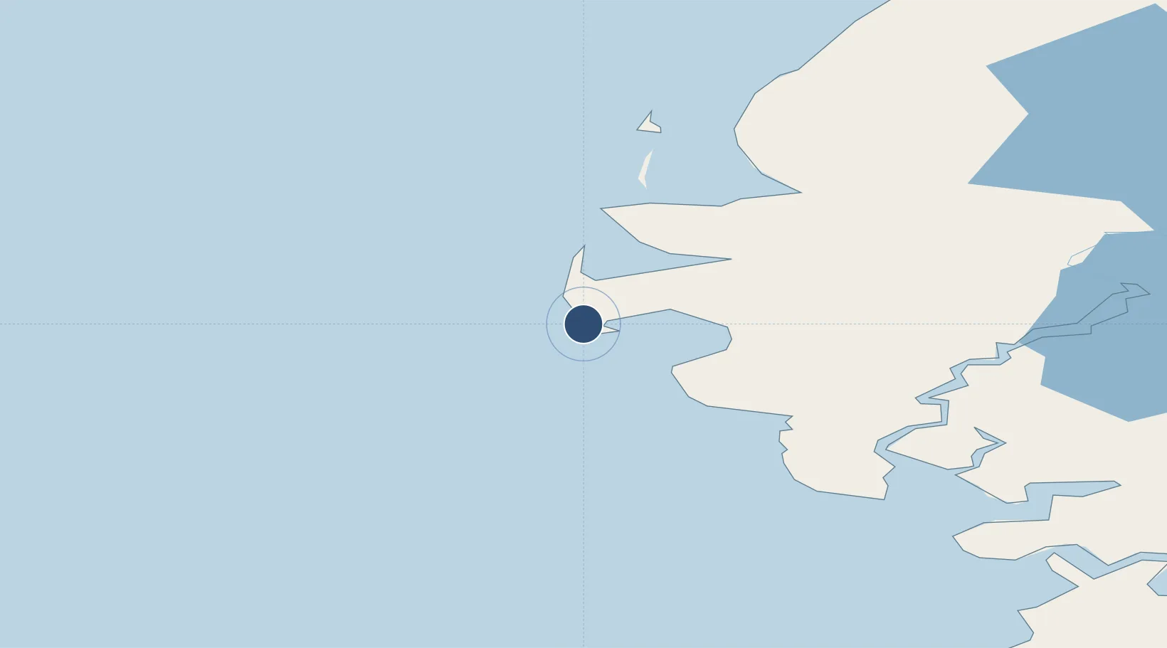
61.5239°, -166.1470°
3,300 ft
Longest runway
1
Runways
13 ft
Elevation
Runway & Layout

Radio Frequencies
AWOS
135.1 MHz
AWOS 3
CTAF
123 MHz
FSS
122.4 MHz
KENAI RDO
MISC
115.2 MHz
TWEB
Navaids
HPB VOR-DME Hooper Bay 115.20 MHz
Runways · 1
| Runway | Dimensions | Surface | True heading | Lit |
|---|---|---|---|---|
| 13/31 | 3,300 × 75ft | Asphalt | 149° | ✓ |
Airport Specifications
IATA code
HPB
ICAO code
PAHP
Airport class
Small airport
Scheduled service
Yes
Runway surface
Asphalt
Served city
Hooper Bay
Location
Nearby Logistics Neighbours
Airports
- 1Chevak Airport29 km
- 2Cape Romanzof LRRS Airport29 km
- 3Scammon Bay Airport47 km
- 4Newtok Seaplane Base104 km
- 5Tununak Airport117 km
Cities
- 1Sledge Island329 km
- 2Provideniya, Bukhta481 km
- 3Lavrentiya511 km
- 4Uelen547 km
- 5Lenard Harbour745 km
Ports
- 1Kotlik215 km
- 2Bethel250 km
- 3St. Michael303 km
- 4Savoonga324 km
- 5Nome333 km
Trade Zones
- 1FTZ No. 232 Kodiak834 km
- 2FTZ No. 160 Anchorage864 km
- 3FTZ No. 195 Fairbanks991 km
- 4FTZ No. 108 Valdez1053 km
- 5PrInce George Logistics Park2655 km
DatabookThe Record of Consolidated Knowledge
United States beyond logistics?